Nabagram, Bardhaman
| Nabagram নবগ্রাম Shyamsunderbati | |
|---|---|
| village | |
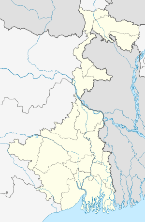 Nabagram  Nabagram Location in West Bengal, India | |
| Coordinates: 23°07′03″N 88°02′59″E / 23.1176110°N 88.0498120°ECoordinates: 23°07′03″N 88°02′59″E / 23.1176110°N 88.0498120°E | |
| Country |
|
| State | West Bengal |
| District | Bardhaman |
| Government | |
| • Type | Panchayati raj (India) |
| • Body | Gram panchayat |
| Elevation | 32 m (105 ft) |
| Languages | |
| • Official | Bengali, English |
| Time zone | IST (UTC+5:30) |
| Vehicle registration | WB |
| Website |
bardhaman |
Nabagram is a village in Ajhapur gram panchayat of Jamalpur block in Bardhaman Sadar South subdivision of Bardhaman district in the Indian state of West Bengal.
Geography
Nabagram is located at 23°07′03″N 88°02′59″E / 23.1176110°N 88.0498120°E.
Transport
Nabagram railway station is 69 kilometres (43 mi) from Howrah Station on the Howrah Burdwan chord line.[1] It is 26 km from Barddhaman Railway Station. Also the village is beside of NH2 Durgapur Expressway, so the transportation & the linking with the major cities by road & rail transport makes too much easy to access this village.
It is located off NH2 . The streets are quite good for transport.All areas of Nabagram are accessible by cars. The main occupation of the large no of peoples are farmer but now a days the quantity jobs people increases only because of eastern railway chord line local train services.
In this there are 1 co education 12th std. high schoolwith Approx 1500 students, 1 Junior High School, Hospitals, State Bank Of India Bank with ATM, Bandhan bank,Indian Post office(SUB), Market etc..
References
- ↑ Eastern Railway local time table
| Cities, municipal and census towns |
| ||||||||||||||||||||||
|---|---|---|---|---|---|---|---|---|---|---|---|---|---|---|---|---|---|---|---|---|---|---|---|
| Locations other than cities and towns | |||||||||||||||||||||||
| Related topics |
| ||||||||||||||||||||||