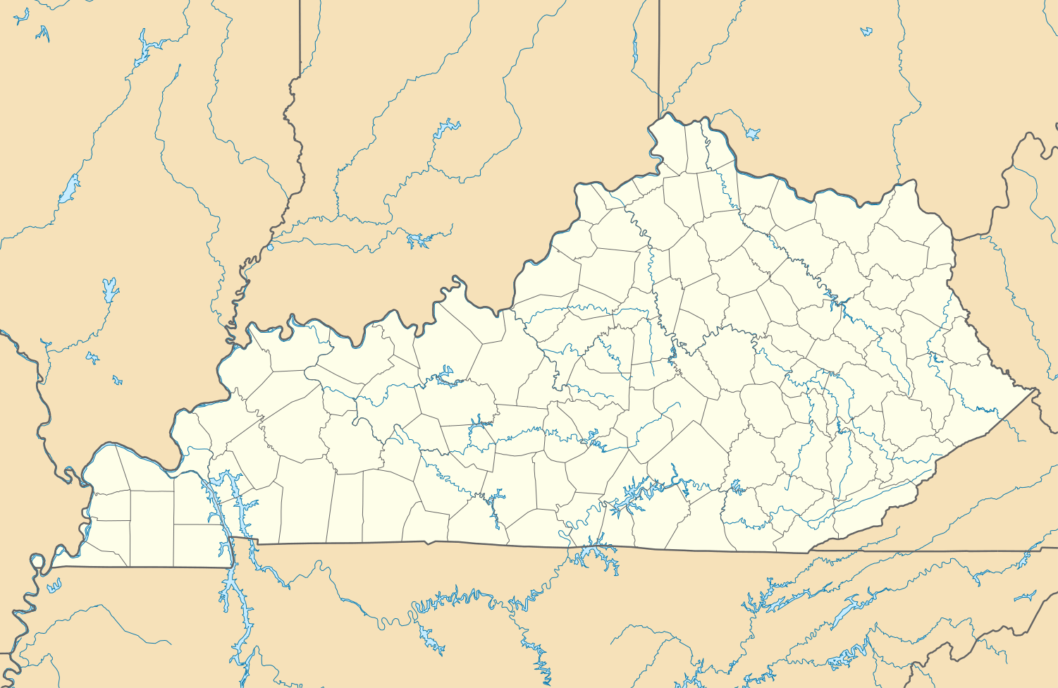
Moorefield, Kentucky
| Moorefield | |
|---|---|
| Unincorporated community | |
 Moorefield  Moorefield Location within the state of Kentucky | |
| Coordinates: 38°16′23″N 83°55′52″W / 38.27306°N 83.93111°WCoordinates: 38°16′23″N 83°55′52″W / 38.27306°N 83.93111°W | |
| Country | United States |
| State | Kentucky |
| County | Nicholas |
| Elevation | 988 ft (301 m) |
| Population (2010) | |
| • Total | 228 |
| Time zone | Eastern (EST) (UTC-5) |
| • Summer (DST) | EDT (UTC-4) |
| ZIP codes | 40350 |
| GNIS feature ID | 498562 |
Moorefield is an unincorporated community in Nicholas County, Kentucky, United States. It lies along Routes 36 and 57 southeast of the city of Carlisle, the county seat of Nicholas County.[1] Its elevation is 988 feet (301 m).[2] Although it is unincorporated, it has a post office, with the ZIP code of 40350.[3]
Notable people
- Robert M. Talbert, Missouri politician and chaplain
References
- ↑ Rand McNally. The Road Atlas '06. Chicago: Rand McNally, 2006, p. 43.
- ↑ U.S. Geological Survey Geographic Names Information System: Moorefield, Kentucky, Geographic Names Information System, 1979-09-20. Accessed 2008-01-03.
- ↑ Zip Code Lookup
Municipalities and communities of Nicholas County, Kentucky, United States | ||
|---|---|---|
| City | 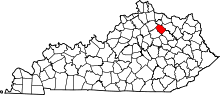 | |
| Unincorporated communities | ||
This article is issued from Wikipedia - version of the 7/27/2016. The text is available under the Creative Commons Attribution/Share Alike but additional terms may apply for the media files.