Moşxmhat
Coordinates: 39°40′59″N 46°51′07″E / 39.68306°N 46.85194°E
| Moşxmhat / Մոշխմհատ Moshkhmgat | |
|---|---|
 Moşxmhat / Մոշխմհատ | |
| Coordinates: 39°40′59″N 46°51′07″E / 39.68306°N 46.85194°E | |
| Country |
De jure De facto |
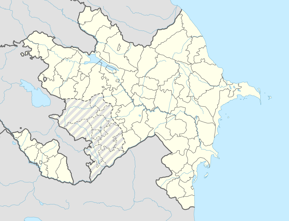
| Rayon Province |
Khojali Askeran |
| Population (2005) | |
| • Total | 61 |
| Time zone | AZT (UTC+4) |
| • Summer (DST) | AZT (UTC+5) |
Moşxmhat (Armenian: Մոշխմհատ - Moshkhmgat) is a village in Khankendi, Azerbaijan. Since the Nagorno-Karabakh war the village has been administered by the de facto Nagorno-Karabakh Republic as part of Askeran Province.[1]
References
.svg.png)
Capital: Askeran | ||
| Urban comunities | 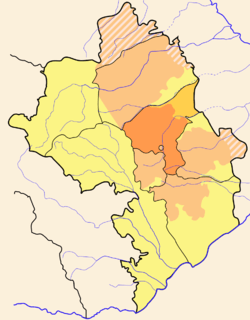 | |
| Rural comunities |
| |
This article is issued from Wikipedia - version of the 11/4/2014. The text is available under the Creative Commons Attribution/Share Alike but additional terms may apply for the media files.