Melber, Kentucky
| Melber | |
|---|---|
| Unincorporated community | |
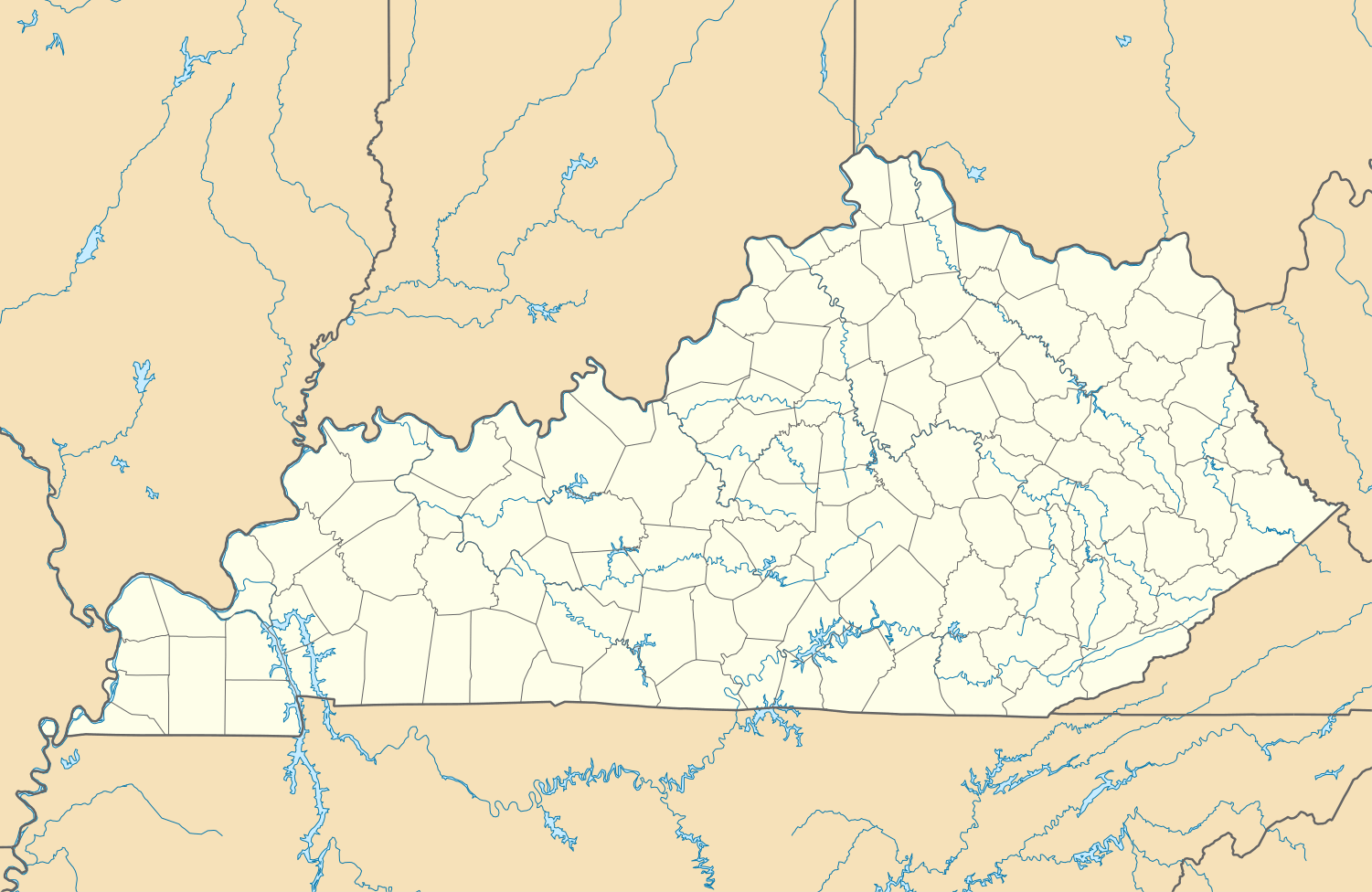 Melber Melber's position in Kentucky. | |
| Coordinates: 36°56′47″N 88°43′31″W / 36.94639°N 88.72528°WCoordinates: 36°56′47″N 88°43′31″W / 36.94639°N 88.72528°W | |
| Country |
|
| State |
|
| County | Graves |
| Elevation | 114 m (374 ft) |
| Time zone | Central (CST) (UTC-6) |
| • Summer (DST) | CDT (UTC-5) |
| ZIP Code | 42069 |
| Area code(s) | 270 & 364 |
| GNIS feature ID | 498042 |
| U.S. Geological Survey Geographic Names Information System: Melber, Kentucky | |
Melber (also, Burg and Lewisburg) is an unincorporated community in Graves and McCracken counties in the U.S. state of Kentucky.[1]population
References
- ↑ "Feature Detail Report for: Melber, Kentucky." USGS. U.S. Geological Survey Geographic Names Information System: Melber, Kentucky Retrieved May 11, 2011.
Municipalities and communities of Graves County, Kentucky, United States | ||
|---|---|---|
| Cities |  | |
| CDPs | ||
| Unincorporated communities | ||
| Footnotes | ‡This populated place also has portions in an adjacent county or counties | |
Municipalities and communities of McCracken County, Kentucky, United States | ||
|---|---|---|
| City |  | |
| CDPs | ||
| Unincorporated communities | ||
| Footnotes | ‡This populated place also has portions in an adjacent county or counties | |
This article is issued from Wikipedia - version of the 12/2/2015. The text is available under the Creative Commons Attribution/Share Alike but additional terms may apply for the media files.