Lukovica pri Domžalah
| Lukovica pri Domžalah | |
|---|---|
| Village | |
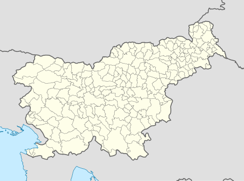 Lukovica pri Domžalah Location in Slovenia | |
| Coordinates: 46°10′6.79″N 14°41′21.11″E / 46.1685528°N 14.6891972°ECoordinates: 46°10′6.79″N 14°41′21.11″E / 46.1685528°N 14.6891972°E | |
| Country |
|
| Traditional region | Upper Carniola |
| Statistical region | Central Slovenia |
| Municipality | Lukovica |
| Elevation | 340.1 m (1,115.8 ft) |
| Population (2002) | |
| • Total | 438 |
| Post code | 1225 |
| Area code(s) | 01 |
| [1] | |
Lukovica pri Domžalah (pronounced [ˈluːkɔʋitsa pɾi dɔmˈʒaːlax]; German: Lukowitz[2]) is a settlement in the Municipality of Lukovica in the eastern part of the Upper Carniola region of Slovenia. It is the seat of the municipality.[3]
Name
The name of the settlement was changed from Lukovica to Lukovica pri Domžalah in 1955.[4] In the past the German name was Lukowitz.[2]
References
- ↑ Statistical Office of the Republic of Slovenia
- 1 2 Leksikon občin kraljestev in dežel zastopanih v državnem zboru, vol. 6: Kranjsko. 1906. Vienna: C. Kr. Dvorna in Državna Tiskarna, p. 20.
- ↑ Lukovica municipal site
- ↑ Spremembe naselij 1948–95. 1996. Database. Ljubljana: Geografski inštitut ZRC SAZU, DZS.
External links
- Lukovica pri Domžalah on Geopedia
 Media related to Lukovica pri Domžalah at Wikimedia Commons

This article is issued from Wikipedia - version of the 1/6/2016. The text is available under the Creative Commons Attribution/Share Alike but additional terms may apply for the media files.