Laze, Logatec
| Laze | |
|---|---|
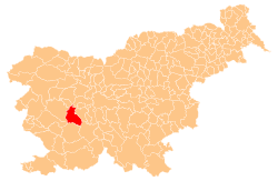
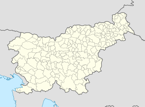 Laze Location in Slovenia | |
| Coordinates: 45°51′31.7″N 14°15′53.21″E / 45.858806°N 14.2647806°ECoordinates: 45°51′31.7″N 14°15′53.21″E / 45.858806°N 14.2647806°E | |
| Country |
|
| Traditional region | Inner Carniola |
| Statistical region | Central Slovenia |
| Municipality | Logatec |
| Area | |
| • Total | 11.56 km2 (4.46 sq mi) |
| Elevation | 453.5 m (1,487.9 ft) |
| Population (2002) | |
| • Total | 299 |
| [1] | |
Laze (pronounced [ˈlaːzɛ]) is a village south of Logatec in the Inner Carniola region of Slovenia.[2]
Unmarked grave
Laze is the site of an unmarked grave from the period after the Second World War. The Logarček Shaft Grave (Slovene: Grobišče Brezno Logarček) is located in the woods between Laze and the freeway, about 320 m (1,050 ft) northwest of the overpass. It contained the remains of a Slovene civilian victim of the December 1945 postwar killings. The remains were removed from the grave under unknown circumstances.[3]
References
External links
 Media related to Laze, Logatec at Wikimedia Commons
- Laze on Geopedia
| Settlements | Administrative centre: Logatec
|  | ||||||
|---|---|---|---|---|---|---|---|---|
| Landmarks |
| |||||||
This article is issued from Wikipedia - version of the 2/20/2014. The text is available under the Creative Commons Attribution/Share Alike but additional terms may apply for the media files.