Krušovce
| Krušovce | |
| Municipality | |
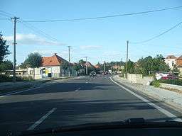 View on Krušovce | |
| Country | Slovakia |
|---|---|
| Region | Nitra |
| District | Topoľčany |
| Elevation | 176 m (577 ft) |
| Coordinates | SK 48°35′30″N 18°12′20″E / 48.59167°N 18.20556°ECoordinates: SK 48°35′30″N 18°12′20″E / 48.59167°N 18.20556°E |
| Area | 13.330365 km2 (5.15 sq mi) |
| Population | 1,746 (2011[1]) |
| Density | 131/km2 (339/sq mi) |
| Postal code | 956 31 |
| Area code | +421-38 |
| Car plate | TO |
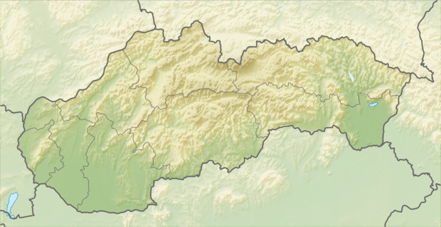 Location of Krušovce in Slovakia | |
| Wikimedia Commons: Krušovce | |
| Statistics: MOŠ/MIS | |
| Website: www.krusovce.sk | |
Krušovce is a municipality in the Topoľčany District of the Nitra Region, Slovakia.[2] In 2011 it had 1746 inhabitants.[3]
References
- ↑ "Archived copy" (PDF). Archived from the original (PDF) on October 12, 2013. Retrieved August 9, 2012.
- ↑ http://en.e-obce.sk/obec/krusovce/krusovce.html
- ↑ "Archived copy" (PDF). Archived from the original (PDF) on October 12, 2013. Retrieved August 9, 2012.
External links
This article is issued from Wikipedia - version of the 7/21/2016. The text is available under the Creative Commons Attribution/Share Alike but additional terms may apply for the media files.