Klondyke, Minnesota
| Klondyke, Minnesota | |
|---|---|
| Unincorporated community | |
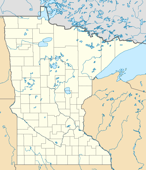 Klondyke, Minnesota  Klondyke, Minnesota Location of Klondyke | |
| Coordinates: 46°26′30″N 93°57′58″W / 46.44167°N 93.96611°WCoordinates: 46°26′30″N 93°57′58″W / 46.44167°N 93.96611°W | |
| Country | United States |
| State | Minnesota |
| County | Crow Wing |
| Township | Irondale Township |
| Elevation | 1,270 ft (390 m) |
| Time zone | Central (CST) (UTC-6) |
| • Summer (DST) | CDT (UTC-5) |
| ZIP code | 56455 |
| Area code(s) | 218 |
| GNIS feature ID | 654779[1] |
Klondyke is an unincorporated community in Irondale Township, Crow Wing County, Minnesota, United States, near Crosby and Ironton.
A post office called Klondike was in operation from 1897 until 1907.[2] The name is an allusion to the Klondike Gold Rush, as Crow Wing County is also a mining region.[3]
References
- ↑ "Klondyke, Minnesota". Geographic Names Information System. United States Geological Survey.
- ↑ "Crow Wing County". Jim Forte Postal History. Retrieved 10 May 2015.
- ↑ Warren Upham (1920). Minnesota Geographic Names: Their Origin and Historic Significance. Minnesota Historical Society. p. 158.
Municipalities and communities of Crow Wing County, Minnesota, United States | ||
|---|---|---|
| Cities | 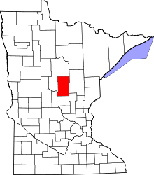 | |
| Townships | ||
| Unorganized territories | ||
| CDP | ||
| Unincorporated communities | ||
| Indian reservation | ||
| Ghost towns | ||
| Footnotes | ‡This populated place also has portions in an adjacent county or counties | |
This article is issued from Wikipedia - version of the 10/25/2016. The text is available under the Creative Commons Attribution/Share Alike but additional terms may apply for the media files.