Kandel
For other uses, see Kandel (disambiguation).
| Kandel | ||
|---|---|---|
|
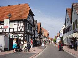
Town centre | ||
| ||
 Kandel | ||
Location of Kandel within Germersheim district 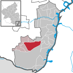 | ||
| Coordinates: 49°5′N 8°12′E / 49.083°N 8.200°ECoordinates: 49°5′N 8°12′E / 49.083°N 8.200°E | ||
| Country | Germany | |
| State | Rhineland-Palatinate | |
| District | Germersheim | |
| Municipal assoc. | Kandel | |
| Government | ||
| • Mayor | Günther Tielebörger (SPD) | |
| Area | ||
| • Total | 26.64 km2 (10.29 sq mi) | |
| Population (2015-12-31)[1] | ||
| • Total | 8,943 | |
| • Density | 340/km2 (870/sq mi) | |
| Time zone | CET/CEST (UTC+1/+2) | |
| Postal codes | 76870 | |
| Dialling codes | 07275 | |
| Vehicle registration | GER | |
| Website | www.kandel.de | |

Kandel is a town in the Germersheim district of Rhineland-Palatinate, Germany, near the border with France and approximately 18 km north-west of Karlsruhe, and 15 km south-east of Landau.
Kandel is twinned with the small Lancashire town of Whitworth.
Kandel is the seat of the Verbandsgemeinde ("collective municipality") Kandel.
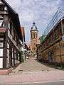 St Georg
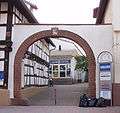 The Dampfnudeltor
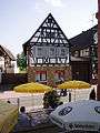 House in Kandel
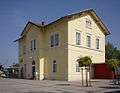 Station
Coat of arms meaning
Star: Celestial goodness, noble person, leadership, excellence.
Sword: Justice and military honour.
Sky-Blue (Azure): Truth and loyalty.
References
- ↑ "Gemeinden in Deutschland mit Bevölkerung am 31. Dezember 2015" (PDF). Statistisches Bundesamt (in German). 2016.
This article is issued from Wikipedia - version of the 8/8/2016. The text is available under the Creative Commons Attribution/Share Alike but additional terms may apply for the media files.