Itteringham
| Itteringham | |
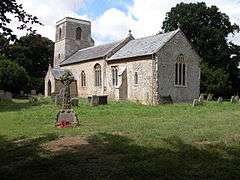 St Mary's Church, Itteringham |
|
 Itteringham |
|
| Area | 8.20 km2 (3.17 sq mi) |
|---|---|
| Population | 125 |
| – density | 15/km2 (39/sq mi) |
| OS grid reference | TG145306 |
| Civil parish | Itteringham |
| District | North Norfolk |
| Shire county | Norfolk |
| Region | East |
| Country | England |
| Sovereign state | United Kingdom |
| Post town | NORWICH |
| Postcode district | NR11 |
| Police | Norfolk |
| Fire | Norfolk |
| Ambulance | East of England |
| EU Parliament | East of England |
Coordinates: 52°49′51″N 1°10′58″E / 52.83096°N 1.18288°E
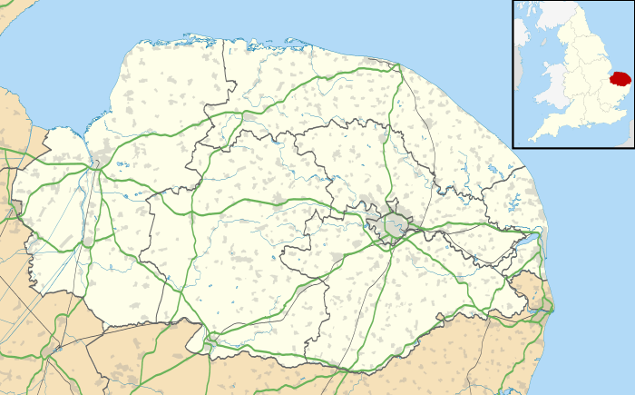
Itteringham is a village and civil parish in the English county of Norfolk, some 4 1⁄2 miles (7.2 km) northwest of the market town of Aylsham. It covers an area of 8.20 km2 (3.17 sq mi) and had a population of 136 in 60 households at the 2001 census,[1] the population reducing to 125 at the 2011 Census.[2] For the purposes of local government, it falls within the district of North Norfolk.
Itteringham lies in the valley of the River Bure that eventually becomes a major part of the Norfolk Broads. The village has a pub, the Walpole Arms and a village shop. The converted watermill is a historical feature within the village. Mannington Hall is included in the parish.
The poet George Barker lived in the village and is buried in the churchyard.
Notes
- ↑ Census population and household counts for unparished urban areas and all parishes. Office for National Statistics & Norfolk County Council (2001). Retrieved 20 June 2009.
- ↑ "Civil Parish population 2011". Retrieved 31 August 2015.
External links
| Wikimedia Commons has media related to Itteringham. |