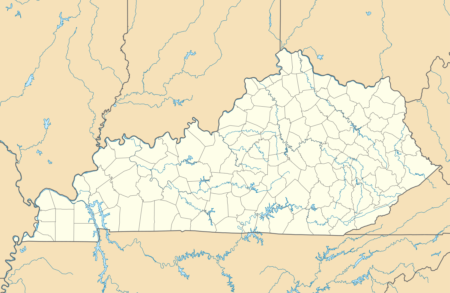
Idlewild, Kentucky
| Idlewild, Kentucky | |
|---|---|
| Unincorporated community | |
 Idlewild, Kentucky | |
| Coordinates: 39°04′39″N 84°47′42″W / 39.07750°N 84.79500°WCoordinates: 39°04′39″N 84°47′42″W / 39.07750°N 84.79500°W | |
| Country | United States |
| State | Kentucky |
| County | Boone |
| Elevation | 663 ft (202 m) |
| Time zone | Eastern (EST) (UTC-5) |
| • Summer (DST) | EDT (UTC-4) |
| Area code(s) | 859 |
| GNIS feature ID | 508308[1] |
Idlewild is an unincorporated community in Boone County, Kentucky, United States. Idlewild is located at the junction of Kentucky Route 20 and Kentucky Route 338 5 miles (8.0 km) northwest of Burlington.
References
Municipalities and communities of Boone County, Kentucky, United States | ||
|---|---|---|
| Cities |  | |
| CDPs | ||
| Unincorporated Communities | ||
| Ghost town | ||
| Footnotes | ‡This populated place also has portions in an adjacent county or counties. | |
This article is issued from Wikipedia - version of the 9/16/2014. The text is available under the Creative Commons Attribution/Share Alike but additional terms may apply for the media files.