Hopin, Shan State
| Hopin | |
|---|---|
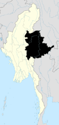
 Hopin Location in Burma | |
| Coordinates: 21°13′44″N 96°52′41″E / 21.22889°N 96.87806°ECoordinates: 21°13′44″N 96°52′41″E / 21.22889°N 96.87806°E | |
| Country |
|
| Division | Shan State |
| Districts | Taunggyi |
| Township | Lawksawk |
| Population | |
| • Religions | Buddhism |
| Time zone | MST (UTC+6.30) |
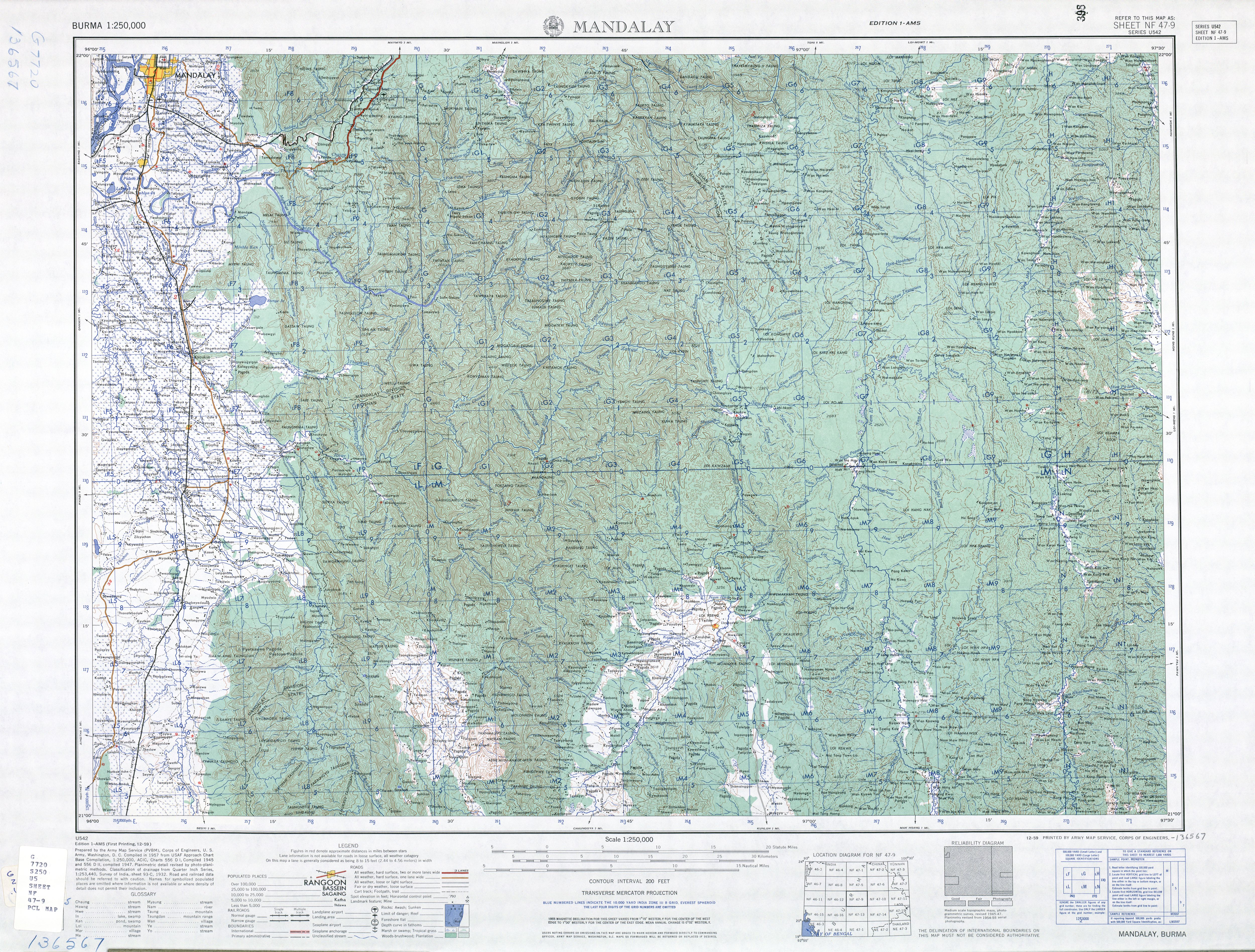
Hopin[1]) is a village in Taunggyi District of Shan State of Myanmar. The village is about 5 kilometers south of the town of Lawksawk on the right (south-eastern) bank the Zawgyi River.[2]
Notes
- ↑ "Hopin (Approved)" Hopin, Shan State at GEOnet Names Server, United States National Geospatial-Intelligence Agency
- ↑ NF 47-09 "Mandalay, Burma" U.S. Army Map Service topographic map 1:250,000, Series U-542, first printing December 1959
External links
- "Hopin Map — Satellite Images of Hopin" Maplandia World Gazetteer
Capital: Lawksawk | |
|

This article is issued from Wikipedia - version of the 5/31/2016. The text is available under the Creative Commons Attribution/Share Alike but additional terms may apply for the media files.