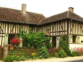
Géraudot
| Géraudot | ||
|---|---|---|
 | ||
| ||
 Géraudot | ||
|
Location within Grand Est region  Géraudot | ||
| Coordinates: 48°18′34″N 4°19′25″E / 48.3094°N 4.3236°ECoordinates: 48°18′34″N 4°19′25″E / 48.3094°N 4.3236°E | ||
| Country | France | |
| Region | Grand Est | |
| Department | Aube | |
| Arrondissement | Troyes | |
| Canton | Piney | |
| Intercommunality | Forêts, lacs, terres en Champagne | |
| Government | ||
| • Mayor (2008–2014) | Bernard Roland | |
| Area1 | 16.74 km2 (6.46 sq mi) | |
| Population (2008)2 | 292 | |
| • Density | 17/km2 (45/sq mi) | |
| Time zone | CET (UTC+1) | |
| • Summer (DST) | CEST (UTC+2) | |
| INSEE/Postal code | 10165 / 10220 | |
|
1 French Land Register data, which excludes lakes, ponds, glaciers > 1 km² (0.386 sq mi or 247 acres) and river estuaries. 2 Population without double counting: residents of multiple communes (e.g., students and military personnel) only counted once. | ||

Géraudot is a commune in the Aube department in north-central France.
Population
| Historical population | ||
|---|---|---|
| Year | Pop. | ±% |
| 1962 | 228 | — |
| 1968 | 246 | +7.9% |
| 1975 | 239 | −2.8% |
| 1982 | 255 | +6.7% |
| 1990 | 274 | +7.5% |
| 1999 | 291 | +6.2% |
| 2008 | 292 | +0.3% |
See also
References
| Wikimedia Commons has media related to Géraudot. |
This article is issued from Wikipedia - version of the 2/11/2016. The text is available under the Creative Commons Attribution/Share Alike but additional terms may apply for the media files.