Fortierville, Quebec
| Fortierville | |
|---|---|
| Municipality | |
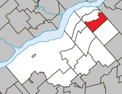 Location within Bécancour RCM. | |
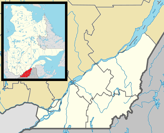 Fortierville Location in southern Quebec. | |
| Coordinates: 46°29′N 72°02′W / 46.483°N 72.033°WCoordinates: 46°29′N 72°02′W / 46.483°N 72.033°W[1] | |
| Country |
|
| Province |
|
| Region | Centre-du-Québec |
| RCM | Bécancour |
| Constituted | June 3, 1998 |
| Government[2] | |
| • Mayor | Normand Gagnon |
| • Federal riding |
Bas-Richelieu— Nicolet—Bécancour |
| • Prov. riding | Nicolet-Bécancour |
| Area[2][3] | |
| • Total | 44.40 km2 (17.14 sq mi) |
| • Land | 44.84 km2 (17.31 sq mi) |
|
There is an apparent contradiction between two authoritative sources | |
| Population (2011)[3] | |
| • Total | 706 |
| • Density | 15.7/km2 (41/sq mi) |
| • Pop 2006-2011 |
|
| • Dwellings | 308 |
| Time zone | EST (UTC−5) |
| • Summer (DST) | EDT (UTC−4) |
| Postal code(s) | G0S 1J0 |
| Area code(s) | 819 |
| Highways |
|
| Website |
www |
Fortierville is a municipality in the Centre-du-Québec region of the province of Quebec in Canada.
See also
References
 |
Parisville | | ||
| Sainte-Cécile-de-Lévrard | |
Leclercville | ||
| ||||
| | ||||
| Sainte-Sophie-de-Lévrard | Sainte-Françoise |
| Cities | |
|---|---|
| Municipalities | |
| Parishes | |
| |
This article is issued from Wikipedia - version of the 5/8/2013. The text is available under the Creative Commons Attribution/Share Alike but additional terms may apply for the media files.