Elaionas, Achaea
| Elaionas Ελαιώνας | |
|---|---|
 | |
 Elaionas | |
| Coordinates: 38°12′N 22°10′E / 38.200°N 22.167°ECoordinates: 38°12′N 22°10′E / 38.200°N 22.167°E | |
| Country | Greece |
| Administrative region | West Greece |
| Regional unit | Achaea |
| Municipality | Aigialeia |
| Municipal unit | Diakopto |
| Population (2011)[1] | |
| • Rural | 671 |
| Community[1] | |
| • Population | 712 (2011) |
| Time zone | EET (UTC+2) |
| • Summer (DST) | EEST (UTC+3) |
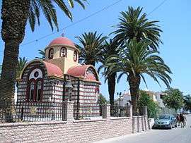
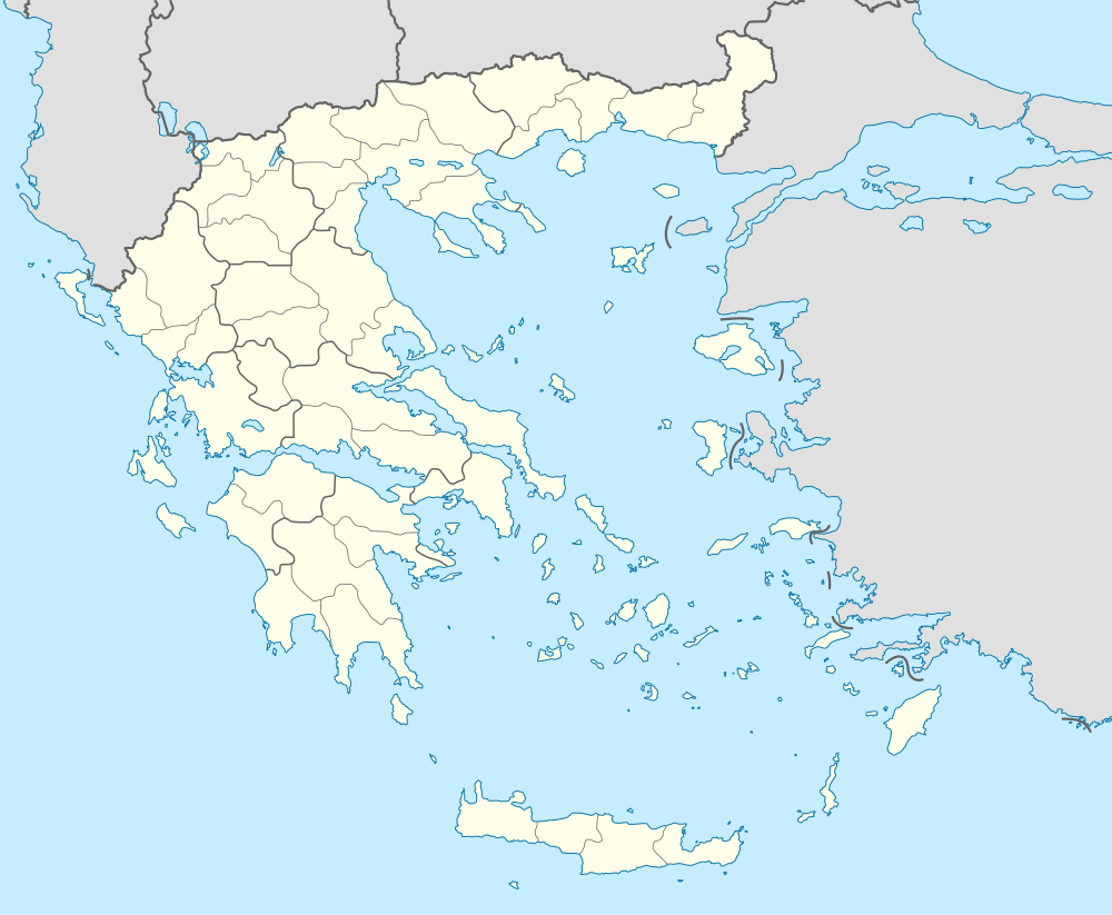
Elaionas (Greek: Ελαιώνας meaning 'the place where olives grow', before 1949: Τρυπιά - Trypia[2]) is a village and a community in the municipal unit of Diakopto, in the northern part of the Peloponnese peninsula, Greece. It is on the Gulf of Corinth, 3 km west of Diakopto and 9 km southeast of Aigio. The Greek National Road 8A (Patras - Corinth - Athens) passes south of the village. The community consists of the villages Elaionas, Metochi and Terpsithea. In 2011 Elaionas had a population of 671 (712 for the community).
Population
| Year | Village population | Community population |
|---|---|---|
| 1981 | 655 | - |
| 1991 | 784 | 856 |
| 2001 | 767 | 812 |
| 2011 | 671 | 712 |
External links
See also
References
- 1 2 "Απογραφή Πληθυσμού - Κατοικιών 2011. ΜΟΝΙΜΟΣ Πληθυσμός" (in Greek). Hellenic Statistical Authority.
- ↑ Name changes of settlements in Greece
This article is issued from Wikipedia - version of the 10/14/2016. The text is available under the Creative Commons Attribution/Share Alike but additional terms may apply for the media files.