East Union, Indiana
| East Union | |
|---|---|
| Unincorporated community | |
 East Union  East Union | |
| Coordinates: 40°13′02″N 86°07′42″W / 40.21722°N 86.12833°WCoordinates: 40°13′02″N 86°07′42″W / 40.21722°N 86.12833°W | |
| Country | United States |
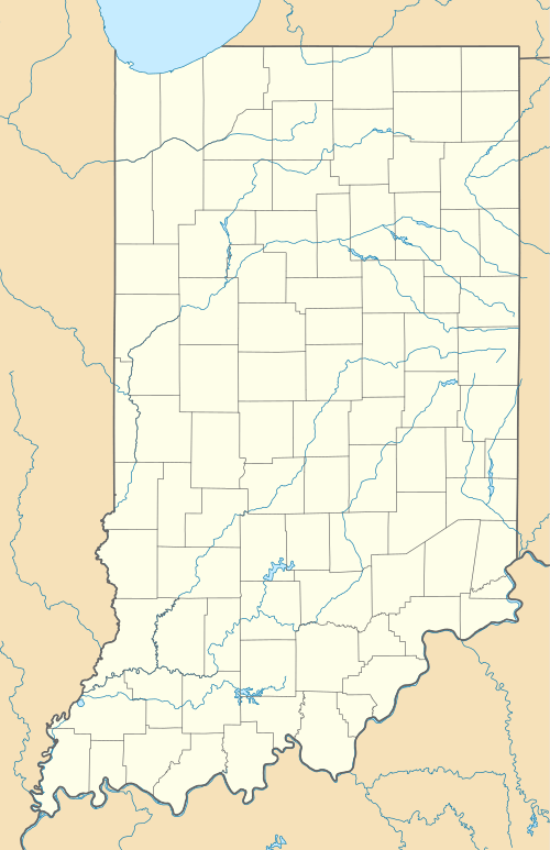
| State | Indiana |
| County | Hamilton, Tipton |
| Township | Adams, Jefferson |
| Elevation[1] | 912 ft (278 m) |
| ZIP code | 46031 |
| GNIS feature ID | 433938 |
East Union is an unincorporated community in Hamilton and Tipton counties, Indiana, in the United States.[2]
It is part of the Kokomo, Indiana, Metropolitan Statistical Area.
Geography
East Union is located at 40°13′02″N 86°07′42″W / 40.21722°N 86.12833°W.
References
- ↑ "US Board on Geographic Names". United States Geological Survey. October 25, 2007. Retrieved 2016-07-22.
- ↑ "East Union, Indiana". Geographic Names Information System. United States Geological Survey. Retrieved 2016-07-22.
Municipalities and communities of Hamilton County, Indiana, United States | ||
|---|---|---|
| Cities | ||
| Towns | ||
| Townships | ||
| Unincorporated communities |
| |
| Footnotes | ‡This populated place also has portions in an adjacent county or counties | |
Municipalities and communities of Tipton County, Indiana, United States | ||
|---|---|---|
| Cities | ||
| Towns | ||
| Townships | ||
| Unincorporated communities | ||
| Ghost town | ||
| Footnotes | ‡This populated place also has portions in an adjacent county or counties | |
This article is issued from Wikipedia - version of the 7/31/2016. The text is available under the Creative Commons Attribution/Share Alike but additional terms may apply for the media files.