Craigton, Glasgow
| Craigton | |
| Scottish Gaelic: Baile Chreig | |
| Scots: Craigtoun | |
 Craigton |
|
| OS grid reference | NS543643 |
|---|---|
| Council area | Glasgow City Council |
| Lieutenancy area | Glasgow |
| Country | Scotland |
| Sovereign state | United Kingdom |
| Post town | GLASGOW |
| Postcode district | G52 |
| Dialling code | 0141 |
| Police | Scottish |
| Fire | Scottish |
| Ambulance | Scottish |
| EU Parliament | Scotland |
| UK Parliament | Glasgow South West |
| Scottish Parliament | Glasgow Pollok |
Coordinates: 55°50′59″N 4°19′44″W / 55.8498°N 4.3289°W
This article is about the suburb of Glasgow. For other uses, see Craigton.
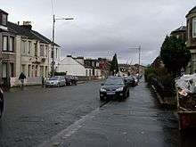
Craigton Road
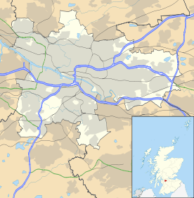
Formerly farming land for the Township of Govan, Craigton (Gaelic: Baile Chreig) is a residential suburb in the southwest of the Scottish city of Glasgow. It borders Bellahouston Park, Cardonald and Govan. It has a primary school, Craigton Primary School, a small industrial estate and a number of shops lining Paisley Road West. Craigton Cemetery is immediately to the west of Craigton and was opened in 1873.
This article is issued from Wikipedia - version of the 5/18/2015. The text is available under the Creative Commons Attribution/Share Alike but additional terms may apply for the media files.