Coutts, Alberta
| Coutts | |
|---|---|
| Village | |
| Village of Coutts | |
|
Coutts border crossing, into the US | |
| Motto: The Gateway to Alberta | |
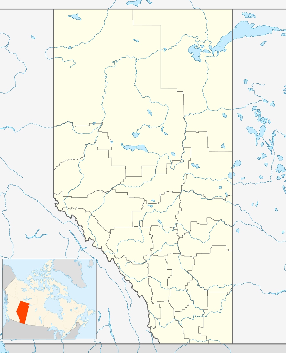 Location in Alberta | |
| Coordinates: 49°00′23″N 111°57′51″W / 49.00639°N 111.96417°W | |
| Country |
|
| Province |
|
| Region | Southern Alberta |
| Census division | 2 |
| Municipal district | County of Warner No. 5 |
| Incorporated[1] | |
| • Village | January 1, 1960 |
| Government | |
| • Mayor | Thomas Butler |
| • Governing body | Coutts Village Council |
| Area (2011)[2] | |
| • Total | 0.98 km2 (0.38 sq mi) |
| Elevation | 1,070 m (3,510 ft) |
| Population (2011)[2] | |
| • Total | 277 |
| • Density | 283.3/km2 (734/sq mi) |
| Time zone | MST (UTC−7) |
| • Summer (DST) | MDT (UTC−6) |
| Area code(s) | 403 / 587 |
| Highways |
|
| Waterway | Milk River |
| Website | Official website |
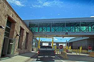
Coutts /ˈkuːts/ is a village in Alberta and a port of entry into the U.S. state of Montana.[3] It is one of the busiest ports of entry on the Canada–United States border in western Canada. It connects Highway 4 to Interstate 15, an important trade route (CANAMEX Corridor) between Alberta, American states along I-15, and Mexico.
In 2004, a joint border facility opened in Coutts–Sweet Grass, Montana, housing both Canadian and American federal authorities.[4]
Demographics
In the 2011 Census, the Village of Coutts had a population of 277 living in 123 of its 154 total dwellings, a −9.2% change from its 2006 population of 305. With a land area of 0.98 km2 (0.38 sq mi), it had a population density of 282.7/km2 (732.1/sq mi) in 2011.[2]
In 2006, Coutts had a population of 305 living in 151 dwellings, a 16.2% decrease from 2001. The village has a land area of 0.98 km2 (0.38 sq mi) and a population density of 312.0 inhabitants per square kilometre.[5]
See also
References
- ↑ "Location and History Profile: Village of Coutts" (PDF). Alberta Municipal Affairs. October 14, 2016. p. 190. Retrieved October 17, 2016.
- 1 2 3 "Population and dwelling counts, for Canada, provinces and territories, and census subdivisions (municipalities), 2011 and 2006 censuses (Alberta)". Statistics Canada. 2012-02-08. Retrieved 2012-02-08.
- ↑ Your Official Road Map of Alberta (Map). Alberta Tourism, Parks and Recreation. 2014.
- ↑ Coutts-Sweetgrass border facility
- ↑ Statistics Canada. "Canada 2006 Census: Coutts – Community Profile". Retrieved 2007-06-06.
External links
 |
Magrath | Milk River | Allerston | |
| Del Bonita | |
Aden | ||
| ||||
| | ||||
| Cut Bank (USA) | Sunburst (USA) | Chester (USA) |
Coordinates: 49°00′N 111°57′W / 49.000°N 111.950°W