Conroy, Iowa
| Conroy, Iowa | |
|---|---|
| census-designated place | |
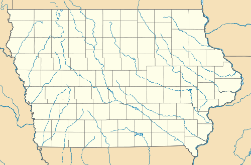 Conroy, Iowa Location within the state of Iowa | |
| Coordinates: 41°43′47″N 91°59′52″W / 41.72972°N 91.99778°WCoordinates: 41°43′47″N 91°59′52″W / 41.72972°N 91.99778°W | |
| Country | United States |
| State | Iowa |
| County | Iowa |
| Elevation | 879 ft (268 m) |
| Population (2010) | |
| • Total | 259 |
| Time zone | Central (CST) (UTC-6) |
| • Summer (DST) | CDT (UTC-5) |
| ZIP codes | 52220 |
| GNIS feature ID | 455578 |
Conroy is an unincorporated community and census-designated place in central Iowa County, Iowa, United States. It lies along local roads southeast of the city of Marengo, the county seat of Iowa County.[1] Its elevation is 879 feet (268 m).[2] Although Conroy is unincorporated, it has a post office with the ZIP code of 52220,[3] which opened on 5 January 1885.[4] As of the 2010 Census the population was 259.[5]
See also
- Plagmann Round Barn, listed on the National Register of Historic Places
References
- ↑ Rand McNally. The Road Atlas '08. Chicago: Rand McNally, 2008, p. 39.
- ↑ U.S. Geological Survey Geographic Names Information System: Conroy, Iowa
- ↑ Zip Code Lookup
- ↑ U.S. Geological Survey Geographic Names Information System: Conroy Post Office
- ↑ http://www.census.gov/2010census/popmap/ipmtext.php?fl=1915870
Municipalities and communities of Iowa County, Iowa, United States | ||
|---|---|---|
| Cities | ||
| Townships | ||
| CDPs | ||
| Footnotes | ‡This populated place also has portions in an adjacent county or counties | |
This article is issued from Wikipedia - version of the 5/14/2016. The text is available under the Creative Commons Attribution/Share Alike but additional terms may apply for the media files.