Chapeltown, Delaware
| Chapeltown, Delaware | |
|---|---|
| Unincorporated community | |
 Chapeltown  Chapeltown | |
| Coordinates: 39°05′59″N 75°41′49″W / 39.09972°N 75.69694°WCoordinates: 39°05′59″N 75°41′49″W / 39.09972°N 75.69694°W | |
| Country | United States |
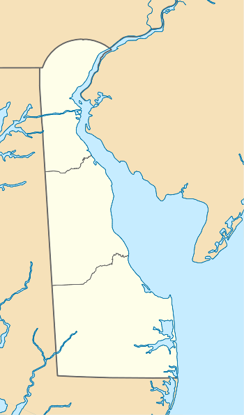
| State | Delaware |
| County | Kent |
| Elevation | 59 ft (18 m) |
| Time zone | Eastern (EST) (UTC-5) |
| • Summer (DST) | EDT (UTC-4) |
| Area code(s) | 302 |
| GNIS feature ID | 216059[1] |
Chapeltown is an unincorporated community in Kent County, Delaware, United States. Chapeltown is located on Westville Road 10 miles (16 km) west-southwest of Dover.[2] Thomas' Methodist Episcopal Chapel, which is listed on the National Register of Historic Places, is located in Chapeltown.[3]
References
- ↑ "Chapeltown". Geographic Names Information System. United States Geological Survey.
- ↑ Delaware Department of Transportation (2008). Delaware Official Transportation Map (PDF) (Map). Dover: Delaware Department of Transportation.
- ↑ National Park Service (2010-07-09). "National Register Information System". National Register of Historic Places. National Park Service.
Municipalities and communities of Kent County, Delaware, United States | ||
|---|---|---|
| Cities | ||
| Towns | ||
| CDPs | ||
| Unincorporated communities |
| |
| Hundreds | ||
| Footnotes | ‡This populated place also has portions in an adjacent county or counties | |
This article is issued from Wikipedia - version of the 7/31/2016. The text is available under the Creative Commons Attribution/Share Alike but additional terms may apply for the media files.