Chandur, Telangana
| Chandur | |
|---|---|
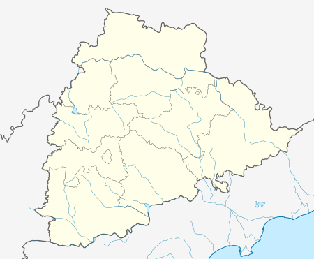 Chandur  Chandur Location in Telangana, India | |
| Coordinates: 16°59′N 79°04′E / 16.98°N 79.06°ECoordinates: 16°59′N 79°04′E / 16.98°N 79.06°E | |
| Country | India |
| State | Telangana |
| District | Nalgonda |
| Elevation | 484 m (1,588 ft) |
| Population (2001) | |
| • Total | 10,762 |
| Languages | |
| • Official | Telugu |
| Time zone | IST (UTC+5:30) |
| ISO 3166 code | IN-TG |
| Vehicle registration | TS |
| Website |
telangana |
Chandur is a census town in Nalgonda district in the state of Telangana, India. It is located in Chandur mandal of Nalgonda division.[1]
Geography
Chandur is located at 16°59′N 79°04′E / 16.98°N 79.06°E.[2] It has an average elevation of 484 metres (1587 feet).
Demographics
As of 2001 India census,[3] Chandur had a population of 60,762. Males constitute 50% of the population and females 50%. Chandur has an average literacy rate of 62%, higher than the national average of 59.5%; with male literacy of 73% and female literacy of 51%. 14% of the population is under 6 years of age.
References
- ↑
- ↑ Falling Rain Genomics, Inc - Chandur
- ↑ "Census of India 2001: Data from the 2001 Census, including cities, villages and towns (Provisional)". Census Commission of India. Archived from the original on 2004-06-16. Retrieved 2008-11-01.
This article is issued from Wikipedia - version of the 10/12/2016. The text is available under the Creative Commons Attribution/Share Alike but additional terms may apply for the media files.