Capolat
| Capolat | |
|---|---|
| Municipality | |
|
Capolat | |
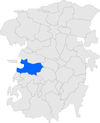 Map showing location within Berguedà | |
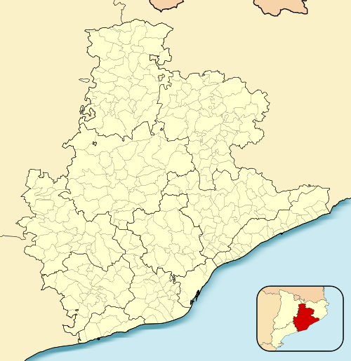 Capolat 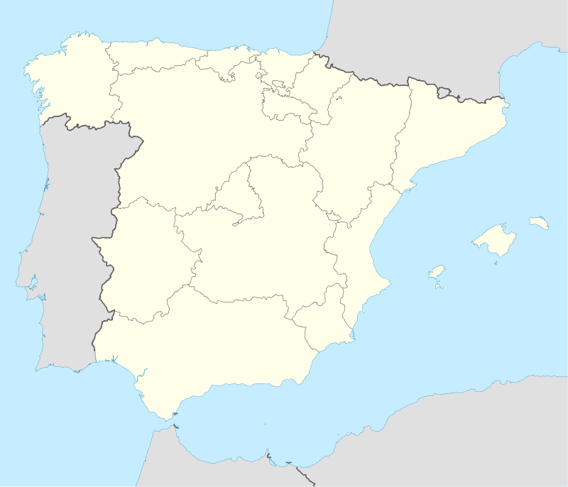 Capolat Location in Catalonia | |
| Coordinates: 42°04′48″N 1°45′16″E / 42.08000°N 1.75444°ECoordinates: 42°04′48″N 1°45′16″E / 42.08000°N 1.75444°E | |
| Country |
|
| Community |
|
| Province | Barcelona |
| Comarca | Berguedà |
| Government | |
| • Mayor | Mireia Besora Sans (2015)[1] (Independents per Capolat) |
| Area[2] | |
| • Total | 34.1 km2 (13.2 sq mi) |
| Elevation | 1,279 m (4,196 ft) |
| Population (2014)[1] | |
| • Total | 88 |
| • Density | 2.6/km2 (6.7/sq mi) |
| Website |
www |
Capolat is a municipality in the comarca of Berguedà, Catalonia, Spain.
Economy
The economy is chiefly agricultural, with a particular prevalence of animal husbandry and dryland farming.
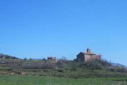
Sites of interest
The municipality has three Romanesque churches of interest:
- Church of Sant Salvador de Capolat
- Church of Sant Andreu de la Serreta
- Church of Sant Serni de la Torre
References
- 1 2 "Ajuntament de Capolat". Generalitat of Catalonia. Retrieved 2015-11-13.
- ↑ "El municipi en xifres: Capolat". Statistical Institute of Catalonia. Retrieved 2015-11-23.
External links
- Information from the Generalitat de Catalunya (Catalan)
- Information from the Institut d'Estadística de Catalunya (Catalan)
 |
Guixers | Castellar del Riu | | |
| Navès | |
Berga | ||
| ||||
| | ||||
| Montmajor | L'Espunyola | Avià |
.svg.png)
This article is issued from Wikipedia - version of the 11/14/2016. The text is available under the Creative Commons Attribution/Share Alike but additional terms may apply for the media files.