Canova, Virginia
| Canova | |
|---|---|
| Unincorporated community | |
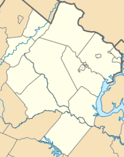 Canova 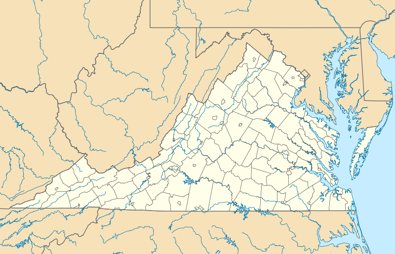 Canova  Canova Location within the state of Virginia | |
| Coordinates: 38°40′37″N 77°26′31″W / 38.67694°N 77.44194°WCoordinates: 38°40′37″N 77°26′31″W / 38.67694°N 77.44194°W | |
| Country | United States |
| State | Virginia |
| County | Prince William |
| Elevation | 358 ft (109 m) |
| Time zone | Eastern (EST) (UTC-5) |
| • Summer (DST) | EDT (UTC-4) |
Canova is an unincorporated community in Prince William County, Virginia.[1] The community is located on Canova Drive, a former section of State Route 234, about 1 mile and a half north of Hoadly Road. The town consists of a church and multiple housing areas. There used to be a country store and gas station, but after SR 234 (Dumfries Road) was realigned and widened in 2005 it bypassed the town, and forced it to close.
References
- ↑ "Canova". Geographic Names Information System. United States Geological Survey. Retrieved February 25, 2014.
Municipalities and communities of Prince William County, Virginia, United States | ||
|---|---|---|
| Towns | 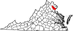 | |
| CDPs | ||
| Unincorporated communities | ||
| Footnotes | ‡This populated place also has portions in an adjacent county or counties | |
This article is issued from Wikipedia - version of the 6/9/2016. The text is available under the Creative Commons Attribution/Share Alike but additional terms may apply for the media files.