Cannum, Victoria
| Cannum Victoria | |
|---|---|
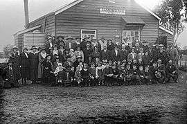 Residents outside Cannum State School c. 1920 | |
 Cannum | |
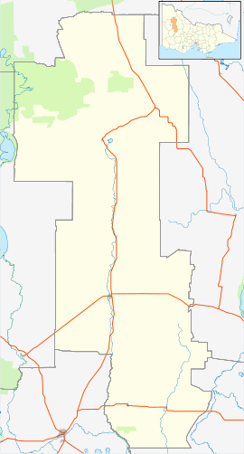
| Coordinates | 36°18′36″S 142°14′37″E / 36.3101°S 142.2437°ECoordinates: 36°18′36″S 142°14′37″E / 36.3101°S 142.2437°E |
| Postcode(s) | 3393 |
| Elevation | 120 m (394 ft)[1] |
| Location |
|
| LGA(s) | Shire of Yarriambiack |
| State electorate(s) | Lowan |
| Federal Division(s) | Mallee |
Cannum is a small farming town near Warracknabeal in Victoria, Australia. Although the town today has no schools, it once had multiple primary schools.[2]
References
- ↑ "Cannum climate, averages and extreme weather record". Meat & Livestock Australia.
- ↑ "29 Jul 1887 - CANNUM. - Trove". Trove.
This article is issued from Wikipedia - version of the 4/28/2016. The text is available under the Creative Commons Attribution/Share Alike but additional terms may apply for the media files.