Bratčice (Kutná Hora District)
| Bratčice (Kutná Hora District) | |||
|---|---|---|---|
| Municipality and village | |||
| |||
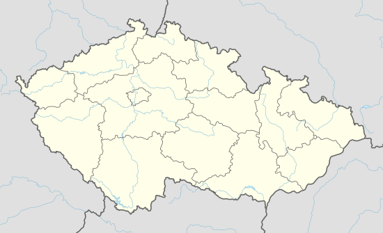 Bratčice (Kutná Hora District) Location in the Czech Republic | |||
| Coordinates: 49°51′17″N 15°25′48″E / 49.85472°N 15.43000°ECoordinates: 49°51′17″N 15°25′48″E / 49.85472°N 15.43000°E | |||
| Country |
| ||
| Region | Central Bohemian Region | ||
| District | Kutná Hora District | ||
| Area | |||
| • Total | 8.27 km2 (3.19 sq mi) | ||
| Elevation | 318 m (1,043 ft) | ||
| Population (2013) | |||
| • Total | 383 | ||
| • Density | 46/km2 (120/sq mi) | ||
| Time zone | CET (UTC+1) | ||
| • Summer (DST) | CEST (UTC+2) | ||
| Postal code | 531286 | ||
| Area code(s) | 286 01 | ||
| Vehicle registration | KH | ||
| Website | Official website | ||
Bratčice (Kutná Hora District) is a village and municipality in Kutná Hora District in the Central Bohemian Region of the Czech Republic. The municipality covers an area of 8.27 km² and as of 2013 it had a population of 383.
References
- This article was initially translated from the Czech Wikipedia.
| Wikimedia Commons has media related to Bratčice (Kutná Hora District). |
This article is issued from Wikipedia - version of the 4/7/2016. The text is available under the Creative Commons Attribution/Share Alike but additional terms may apply for the media files.