Big Fork, Arkansas
| Big Fork, Arkansas | |
|---|---|
| Unincorporated community | |
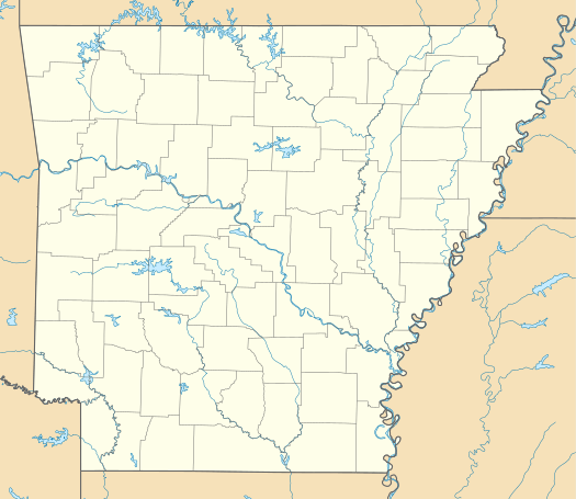 Big Fork, Arkansas  Big Fork, Arkansas Big Forks's position in Arkansas. | |
| Coordinates: 34°29′11″N 93°58′12″W / 34.48639°N 93.97000°WCoordinates: 34°29′11″N 93°58′12″W / 34.48639°N 93.97000°W | |
| Country |
|
| State |
|
| County | Polk |
| Elevation | 310 m (1,020 ft) |
| Time zone | Central (CST) (UTC-6) |
| • Summer (DST) | CDT (UTC-5) |
| GNIS feature ID | 76338 |
| U.S. Geological Survey Geographic Names Information System: Big Fork, Arkansas | |
Big Fork (also Bigfork) is an unincorporated community in Polk County, Arkansas, United States.[1] On April 25, 2011, Big Fork was reportedly hit by a tornado causing extensive tree damage (see April 25–28, 2011 tornado outbreak).
References
- ↑ "Feature Detail Report for: Big Fork, Arkansas." USGS. U.S. Geological Survey Geographic Names Information System: Big Fork, Arkansas Retrieved April 28, 2011.
Municipalities and communities of Polk County, Arkansas, United States | ||
|---|---|---|
| Cities | 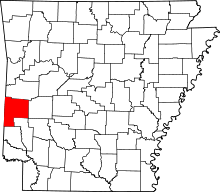 | |
| Towns | ||
| Unincorporated communities | ||
This article is issued from Wikipedia - version of the 7/29/2016. The text is available under the Creative Commons Attribution/Share Alike but additional terms may apply for the media files.