Barmer, Rajasthan
This article is about the municipality in Rajasthan, India. For its namesake district, see Barmer district.
| Barmer बाड़मेर | |
|---|---|
| Metropolitan City | |
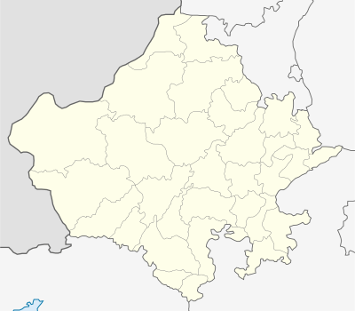 Barmer  Barmer Location in Rajasthan, India | |
| Coordinates: 25°45′N 71°23′E / 25.75°N 71.38°ECoordinates: 25°45′N 71°23′E / 25.75°N 71.38°E | |
| Country |
|
| State | Rajasthan |
| District | Barmer |
| Founded by | Mallinath |
| Government | |
| • Type | Democratic |
| • Body | BMC |
| Area | |
| • Total | 28,387 km2 (10,960 sq mi) |
| Area rank | No. 5 |
| Elevation | 227 m (745 ft) |
| Population (2011) | |
| • Total | 100,015 |
| Languages | |
| • Official | Hindi, Marwadi |
| Time zone | IST (UTC+5:30) |
| PIN | 344001 |
| Vehicle registration | RJ-04 |
| Website |
barmer |
Barmer (Hindi: बाड़मेर) is the district headquarters of the Barmer district in the state of Rajasthan, India. It is a Group 'C' city for living standards, and the headquarters of the Barmer Taluka.
Demographics
As per census of the 2011 ,Barmer had population of 100,051. The population of 0-6year age range is 22% proportion to total population of district. Barmer had an average literacy rate of 56.53%, for gender wise 70% of the males and 40% of females literate.[1]
Geography
Main article: Barmer district § Geography
References
- ↑ "Census of India 2001: Data from the 2001 Census, including cities, villages and towns (Provisional)". Census Commission of India. Archived from the original on 2004-06-16. Retrieved 2008-11-01.
External links
| Outline |  | ||||||||||||||||||||||||||
|---|---|---|---|---|---|---|---|---|---|---|---|---|---|---|---|---|---|---|---|---|---|---|---|---|---|---|---|
| Governance | |||||||||||||||||||||||||||
| Divisions and Districts |
| ||||||||||||||||||||||||||
| Major cities | |||||||||||||||||||||||||||
| Related templates |
| ||||||||||||||||||||||||||
This article is issued from Wikipedia - version of the 11/25/2016. The text is available under the Creative Commons Attribution/Share Alike but additional terms may apply for the media files.