Anegam, Arizona
| Anegam, Arizona | |
|---|---|
| Populated place | |
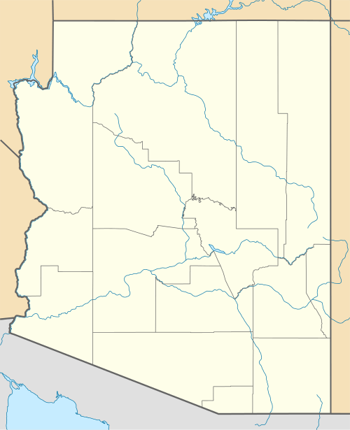 Anegam, Arizona Location of Anegam in Arizona | |
| Coordinates: 32°22′22″N 112°01′51″W / 32.37278°N 112.03083°WCoordinates: 32°22′22″N 112°01′51″W / 32.37278°N 112.03083°W | |
| Country | United States |
| State | Arizona |
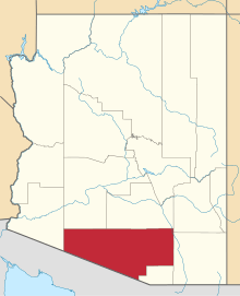
| County | Pima |
| Area | |
| • Total | 2.31 sq mi (6.0 km2) |
| • Land | 2.31 sq mi (6.0 km2) |
| Elevation[1] | 1,762 ft (537 m) |
| Population (July 1, 2015 estimate) | |
| • Total | 154 |
| • Density | 67/sq mi (26/km2) |
| Time zone | Mountain (MST) (UTC-7) |
| • Summer (DST) | MST (UTC-7) |
| Area code(s) | 520 |
| FIPS code | 025-02270 |
| GNIS feature ID | 652 |
Anegam is a census designated place situated in Pima County, Arizona. Its population was 154 as of July 1, 2015, and it has a land area of 2.31 square miles.[2] It has an estimated elevation of 1,762 feet (537 m) above sea level.
References
- ↑ "Feature Detail Report for: Anegam". Geographic Names Information System. United States Geological Survey.
- ↑ "Anegam, AZ Profile: Facts, Map & Data". AZ Hometown Locator. Retrieved December 26, 2015.
This article is issued from Wikipedia - version of the 1/24/2016. The text is available under the Creative Commons Attribution/Share Alike but additional terms may apply for the media files.