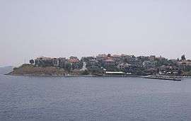
Ammouliani
| Ammouliani Αμμουλιανή | |
|---|---|
 | |
 Ammouliani | |
| Coordinates: 40°20′N 23°55.2′E / 40.333°N 23.9200°ECoordinates: 40°20′N 23°55.2′E / 40.333°N 23.9200°E | |
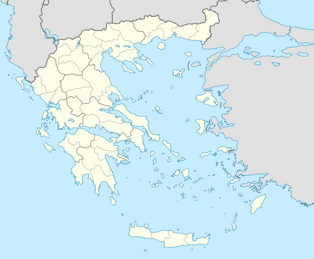
| Country | Greece |
| Administrative region | Central Macedonia |
| Regional unit | Chalkidiki |
| Municipality | Aristotelis |
| Municipal unit | Stagira-Akanthos |
| Community[1] | |
| • Population | 547 (2011) |
| Time zone | EET (UTC+2) |
| • Summer (DST) | EEST (UTC+3) |
| Vehicle registration | ΧΚ |
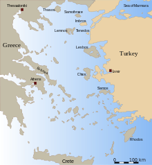
Ammouliani (Greek: Αμμουλιανή) - also known as Amoliani - is an island located in the Chalkidiki regional unit, Greece, 120 km (75 mi) from Thessaloniki. Administratively it is part of the municipal unit of Stagira-Akanthos. As of 2011, the resident population of the island was 547.
History
Up to early 1900s, Ammouliani was a dependency of Vatopedi Monastery of Mount Athos. In 1925, the island was given in the refugees' families who had come from islands of Propontis (Marmaras Sea), after Asia Minor Disaster.[2] The population of the island was developed quickly and today the island has over 500 residents. Nowadays Ammouliani is a touristic place with frequent transportation with the opposite coast.
Historical population
| Year | Settlement |
|---|---|
| 1991 | 606 |
| 2001 | 542 |
| 2011 | 547 |
References
- ↑ "Απογραφή Πληθυσμού - Κατοικιών 2011. ΜΟΝΙΜΟΣ Πληθυσμός" (in Greek). Hellenic Statistical Authority.
- ↑ "Ammouliani Island". dimosaristoteli.gr. Retrieved 6 October 2015.
External links
| Wikimedia Commons has media related to Ammouliani. |
This article is issued from Wikipedia - version of the 3/8/2016. The text is available under the Creative Commons Attribution/Share Alike but additional terms may apply for the media files.