Altıntepe
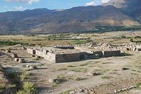 Temple in Altıntepe | |
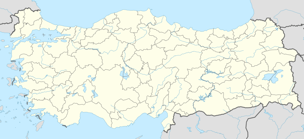 Shown within Turkey | |
| Location | Turkey |
|---|---|
| Region | Erzincan Province |
| Coordinates | 39°41′47″N 39°38′48″E / 39.69639°N 39.64667°ECoordinates: 39°41′47″N 39°38′48″E / 39.69639°N 39.64667°E |
| Type | Settlement |
| Site notes | |
| Condition | In ruins |
Altıntepe (Turkish for "golden hill") is an Urartian fortress dating from the 9th-7th century BCE. It is located on a height overlooking the Euphrates River in Üzümlü district of Erzincan Province, Turkey.
Altıntepe is located at the 12th kilometre on the highway from Erzincan to Erzurum . The remains are situated on a 60 m-high volcanic hill. During excavations undertaken between 1959-1968 and led by Professor Dr. Tahsin Özgüç, a castle of the Urartian period was found. In this area, a temple or palace, the great hall, warehouse, city wall, rooms, 3 subterranean rooms sides on south of the hill and an open-air temple were found and excavated. After a long break, excavations were restarted in 2003 by the decision of the Council of Ministers, under the leadership of Professor Dr. Mehmet Karaosmanoğlu.
External links
- Erzincan governor's official website - Altıntepe images
- The Excavations of the Altintepe official web site