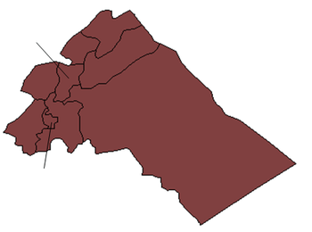
Al-Sahel
| Al-Sahel السحل | |
|---|---|
| Village | |
 Al-Sahel Location in Syria | |
| Coordinates: 34°01′N 36°39′E / 34.017°N 36.650°ECoordinates: 34°01′N 36°39′E / 34.017°N 36.650°E | |
| Country |
|
| Governorate | Rif Dimashq Governorate |
| District | An-Nabek District |
| Nahiyah | An-Nabek |
| Elevation | 1,499 m (4,918 ft) |
| Population (2004 census)[1] | |
| • Total | 5,677 |
| Time zone | EET (UTC+2) |
| • Summer (DST) | EEST (UTC+3) |
Al-Sahel (Arabic: السحل, also transliterated As-Sahel and As-Sehel) is a Syrian village in the An-Nabek District of the Rif Dimashq Governorate. According to the Syria Central Bureau of Statistics (CBS), al-Sahel had a population of 5,677 in the 2004 census.[1] Its inhabitants are predominantly Sunni Muslims.[2]
Nearby cities and towns
| City-Village | Distance | Direction |
|---|---|---|
| Ma`arrat al Bash | 3.5 nm | West |
| Flitah (Meshrefah) | 2.7 nm | West |
| al-Jarajir | 4.1 nm | North |
| An-Nabek | 5.0 nm | East |
| Ras al-Ayn | 4.1 nm | South |
| Yabroud | 3.4 nm | South |
Weather
| Season | Temperature, °C | Rainfall, cm | Wind, km/h |
|---|---|---|---|
| Fall | 15.3 | 0.8 | 5 |
| Winter | 2.5 | 2.7 | 5.5 |
| Spring | 13.5 | 0.0 | 6 |
| Summer | 22.5 | 0.0 | 5 |
References
- 1 2 General Census of Population and Housing 2004. Syria Central Bureau of Statistics (CBS). Rif Dimashq Governorate. (Arabic)
- ↑ Smith, 1841, p. 173.
Bibliography
- Smith, Eli; Robinson, Edward (1841). Biblical Researches in Palestine, Mount Sinai and Arabia Petraea: A Journal of Travels in the Year 1838. 3. Crocker and Brewster.
External links
This article is issued from Wikipedia - version of the 10/27/2016. The text is available under the Creative Commons Attribution/Share Alike but additional terms may apply for the media files.
