Airedale, Kentucky
| Airedale | |
|---|---|
| Unincorporated community | |
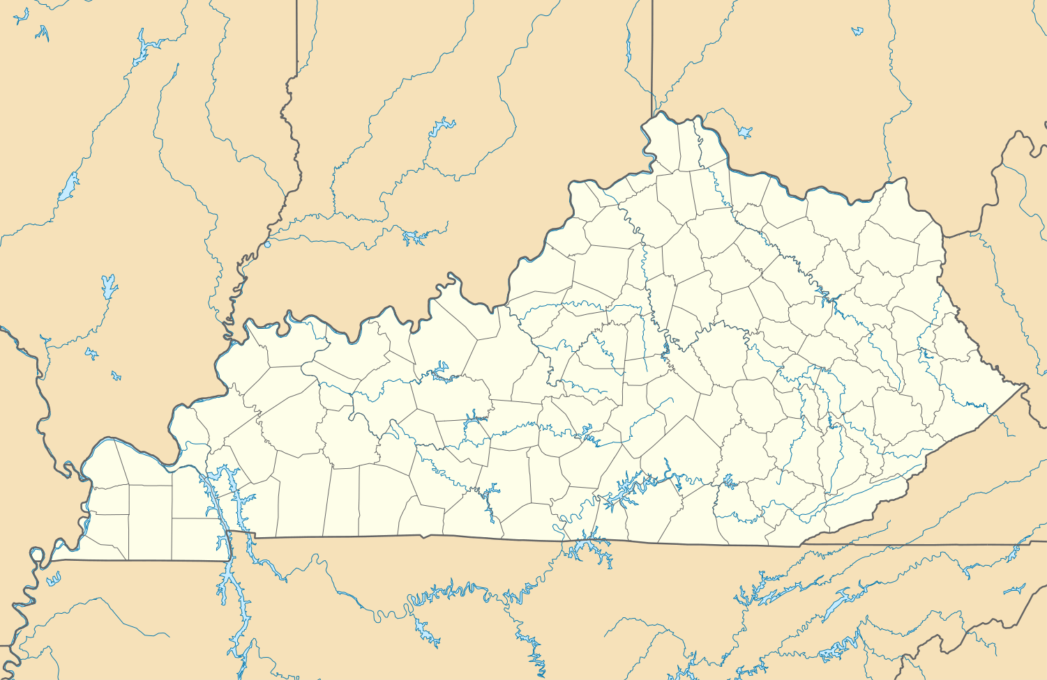 Airedale  Airedale Location within the state of Kentucky | |
| Coordinates: 37°36′9″N 83°38′22″W / 37.60250°N 83.63944°WCoordinates: 37°36′9″N 83°38′22″W / 37.60250°N 83.63944°W | |
| Country | United States |
| State | Kentucky |
| County | Lee |
| Elevation | 709 ft (216 m) |
| Time zone | Central (CST) (UTC-6) |
| • Summer (DST) | CST (UTC-5) |
| GNIS feature ID | 510224[1] |
Airedale is an unincorporated community in Lee County, Kentucky, United States.
References
Municipalities and communities of Lee County, Kentucky, United States | ||
|---|---|---|
| City |  | |
| Unincorporated communities |
| |
This article is issued from Wikipedia - version of the 7/27/2016. The text is available under the Creative Commons Attribution/Share Alike but additional terms may apply for the media files.