Aït Bouaddou
Not to be confused with Ait Bouada (other commune).
| Aït Bouaddou ⴰⵉⵜ ⴱⵄⵓⴷⴷⵄⵓ أيت بوعدو | ||
|---|---|---|
| Commune and town | ||
|
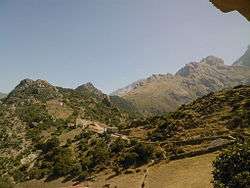
View of the Djurdjura Range | ||
| ||
| Nickname(s): Ath Vouvaddou or Beni Bouaddou | ||
_location_map.svg.png) | ||
 Aït Bouaddou | ||
| Coordinates: DZ 36°30′00″N 4°01′00″E / 36.5°N 4.016667°E | ||
| Country |
| |
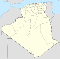
| Province | Tizi Ouzou | |
| District | Ouadhia | |
| Area | ||
| • Total | 15.2 sq mi (39.3 km2) | |
| Population (2008[1]) | ||
| • Total | 14,435 | |
| Time zone | CET (UTC+1) | |
Aït Bouaddou, alsao called Ath Vouvaddou or Beni Bouaddou, is a commune in the Ouadhia District of Tizi Ouzou Province in the Kabylie region of Algeria.
Geography
Commune of Aït Bouaddou
Main article: Villages of Aït Bouaddou
Located close to the mountains of Djurdjura, the town has eight villages and about 17,000 inhabitants.
- Aït Djemaa, administrative centre
- Aït Maalem,
- Ibadissen,
- Aït Amar,
- Aït Ouel hadj
- Aït Irane, altitude 813 meters
- Aït Khalfa
- Takherradjit
Localisation
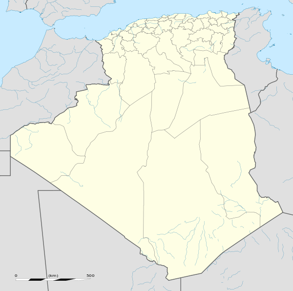
Aït Bouaddou is in the Tizi Ouzou Wilaya southern and is bordered by :
- East : Agouni Gueghrane.
- West : Ath Boughardane (Assi Youcef).
- South : Djurdjura Range.
- North : Tizi N'Tleta.
 |
Assi Youcef | Tizi N'Tleta | Ouadhia |
| |||
| Assi Youcef | |
Ouadhia | |||||
| Assi Youcef | |
Agouni Gueghrane | |||||
| Assi Youcef | |
Agouni Gueghrane | |||||
| Assi Youcef | ?(wilaya de Bouira)? | Agouni Gueghrane |
See also
References
- ↑ Evolution intercensitaire de la population sur le site de la wilaya de Tizi Ouzou. Consulté le 25/02/2011
Coordinates: 36°30′N 4°01′E / 36.500°N 4.017°E
This article is issued from Wikipedia - version of the 6/11/2016. The text is available under the Creative Commons Attribution/Share Alike but additional terms may apply for the media files.