Zgornje Verjane
| Zgornje Verjane | |
|---|---|
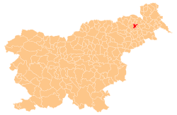
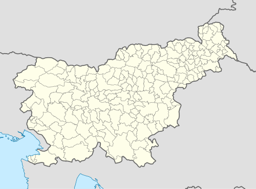 Zgornje Verjane Location in Slovenia | |
| Coordinates: 46°34′50.34″N 15°53′11.84″E / 46.5806500°N 15.8866222°ECoordinates: 46°34′50.34″N 15°53′11.84″E / 46.5806500°N 15.8866222°E | |
| Country |
|
| Traditional region | Styria |
| Statistical region | Drava |
| Municipality | Sveta Trojica v Slovenskih Goricah |
| Area | |
| • Total | 2.72 km2 (1.05 sq mi) |
| Elevation | 265.3 m (870.4 ft) |
| Population (2002) | |
| • Total | 155 |
| [1] | |
Zgornje Verjane (pronounced [ˈzɡoːɾnjɛ ʋɛˈɾjaːnɛ]) is a settlement in the Municipality of Sveta Trojica v Slovenskih Goricah in the Slovene Hills, northeastern Slovenia. The area was part of the traditional region of Styria and is now included in the Drava Statistical Region.[2]
A small chapel with a belfry in the settlement was built in 1870.[3]
References
- ↑ Statistical Office of the Republic of Slovenia Archived November 18, 2008, at the Wayback Machine.
- ↑ Sveta Trojica municipal site
- ↑ Slovenian Ministry of Culture register of national heritage Archived July 12, 2010, at the Wayback Machine. reference number ešd 3467
External links
| Settlements | Administrative centre: Sveta Trojica v Slovenskih Goricah
|  |
|---|---|---|
This article is issued from Wikipedia - version of the 11/17/2016. The text is available under the Creative Commons Attribution/Share Alike but additional terms may apply for the media files.