Waterkloof Ridge
| Waterkloof Ridge | |
|---|---|
|
View over Waterkloof Ridge | |
 Waterkloof Ridge 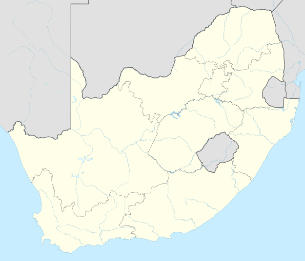 Waterkloof Ridge  Waterkloof Ridge
| |
| Coordinates: 25°48′44″S 28°14′40″E / 25.81222°S 28.24444°ECoordinates: 25°48′44″S 28°14′40″E / 25.81222°S 28.24444°E | |
| Country | South Africa |
| Province | Gauteng |
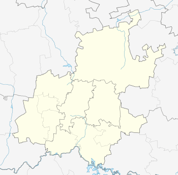
| Municipality | City of Tshwane |
| Main Place | Pretoria |
| Area[1] | |
| • Total | 6.05 km2 (2.34 sq mi) |
| Population (2011)[1] | |
| • Total | 8,136 |
| • Density | 1,300/km2 (3,500/sq mi) |
| Racial makeup (2011)[1] | |
| • Black African | 27.7% |
| • Coloured | 1.5% |
| • Indian/Asian | 1.5% |
| • White | 67.2% |
| • Other | 2.1% |
| First languages (2011)[1] | |
| • Afrikaans | 45.9% |
| • English | 31.7% |
| • Northern Sotho | 3.8% |
| • Tswana | 3.0% |
| • Other | 15.7% |
| Postal code (street) | 0181 |
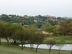
Waterkloof Ridge (Afrikaans: "Waterkloofrif") is a suburb of the city of Pretoria, South Africa. Located to the south of Waterkloof in a leafy, established area that is home to some of the city's most expensive real estate.
See also
- AFB Waterkloof, an air force base located just west of Waterkloof Ridge in Centurion, Gauteng.
- Hoërskool Waterkloof, large Afrikaans high school situated between Waterkloof Ridge and Erasmuskloof.
References
- 1 2 3 4 "Sub Place Waterkloof Ridge". Census 2011.
.svg.png)
This article is issued from Wikipedia - version of the 10/4/2015. The text is available under the Creative Commons Attribution/Share Alike but additional terms may apply for the media files.