Villaverde (Madrid)
| Villaverde | |
|---|---|
| District of Madrid | |
 | |
| Country | Spain |
| Auton. community | Madrid |
| Municipality | Madrid |
| Area | |
| • Total | 20.29 km2 (7.83 sq mi) |
| Population | 126,802 |
| • Density | 6,249/km2 (16,180/sq mi) |
| Madrid district number | 17 |
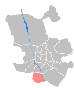
Villaverde is one of the 21 districts of the city of Madrid, Spain.
Geography and history
The municipality was absorbed by Madrid in the 1950s as a result of the plans that the Franco government made to simplify the structure of big city administrations. Since then, is a district. It was in those years when it experimented a massive growth caused by the rural flight in Spain. This is the reason that made Villaverde a typical working class neighbourhood.
This condition leaves a heavy footprint in the district, because it has conditioned the current population composition, with many retired people (some of them returning to their towns in Andalusia, Castile-León, ...) and immigrants attracted by the housing cheap prices.
The district is administratively divided into five wards (barrios):
- Butarque
- Los Ángeles
- Los Rosales
- San Cristóbal de los Ángeles
- Villaverde Alto (or San Andrés)
External links
![]() Media related to Villaverde at Wikimedia Commons
Media related to Villaverde at Wikimedia Commons
Coordinates: 40°26′45″N 3°42′04″W / 40.445945°N 3.701143°W