Vache Island, Seychelles
| Nickname: Île aux Vaches Marines | |
|---|---|
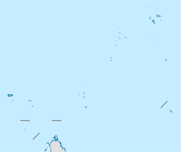 Vache Island Location of Vache Island in Seychelles | |
| Geography | |
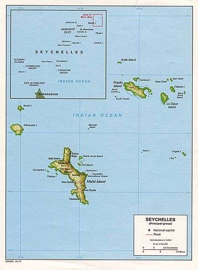
| Location | Seychelles, Indian Ocean |
| Coordinates | 4°41′S 55°26′E / 4.683°S 55.433°ECoordinates: 4°41′S 55°26′E / 4.683°S 55.433°E |
| Archipelago | Inner Islands, Seychelles |
| Adjacent bodies of water | Indian Ocean |
| Total islands | 1 |
| Major islands |
|
| Area | 0.047 km2 (0.018 sq mi) |
| Length | 0.2 km (0.12 mi) |
| Width | 0.25 km (0.155 mi) |
| Coastline | 0.9 km (0.56 mi) |
| Highest elevation | 54 m (177 ft) |
| Highest point | Vache |
| Administration | |
| Group | Granitic Seychelles |
| Sub-Group | Mahe Islands |
| Districts | Grand'Anse Mahé |
| Demographics | |
| Population | 0 (2014) |
| Pop. density | 0 /km2 (0 /sq mi) |
| Additional information | |
| Time zone | |
| Official website |
www |
| ISO Code = SC-13 | |
Île aux Vaches Marines is one of many islands in the Seychelles, lying in the west shores of Mahe.[1] Île aux Vaches Marines is a granite rock, only slightly covered with vegetation. The island is a popular nesting site for sea-birds. The rocks “Les Trois Dames” are not far from it but are usually hidden by ‘heavily braking seas”
Administration
The island belongs to Grand'Anse Mahé District.[2]
Image gallery
 Map 1
Map 1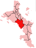 District Map
External links
References
- ↑ Coutsoukis, Photius (2010). "Vache Island: Seychelles". geographic.org. Retrieved May 2012. Check date values in:
|access-date=(help); External link in|publisher=(help) cites: National Geospatial-Intelligence Agency, Bethesda, MD, USA - ↑ District map
This article is issued from Wikipedia - version of the 11/11/2016. The text is available under the Creative Commons Attribution/Share Alike but additional terms may apply for the media files.