Uskedal
| Uskedal Uskedalen | |
|---|---|
| Village | |
 Uskedal 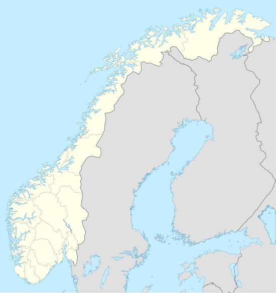 Uskedal Location in Hordaland county | |
| Coordinates: 59°55′58″N 05°51′48″E / 59.93278°N 5.86333°ECoordinates: 59°55′58″N 05°51′48″E / 59.93278°N 5.86333°E | |
| Country | Norway |
| Region | Western Norway |
| County | Hordaland |
| District | Sunnhordland |
| Municipality | Kvinnherad |
| Area[1] | |
| • Total | 0.69 km2 (0.27 sq mi) |
| Elevation[2] | 8 m (26 ft) |
| Population (2013)[1] | |
| • Total | 690 |
| • Density | 1,000/km2 (3,000/sq mi) |
| Time zone | CET (UTC+01:00) |
| • Summer (DST) | CEST (UTC+02:00) |
| Post Code | 5463 Uskedalen |
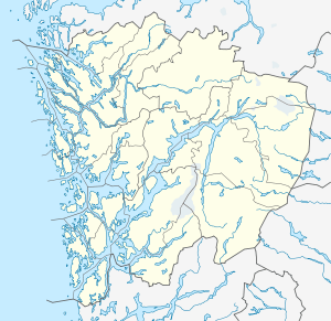
Uskedal or Uskedalen is a village in Kvinnherad municipality in Hordaland county, Norway. The village is located in a small valley along the southern shore of the Hardangerfjorden, about 7 kilometres (4.3 mi) southwest of the village of Dimmelsvik and about 4 kilometres (2.5 mi) east of the village of Herøysund.[3]
The 0.69-square-kilometre (170-acre) village has a population (2013) of 690, giving the village a population density of 1,000 inhabitants per square kilometre (2,600/sq mi).[1] The village is the site of Uskedalen Church.
Media gallery
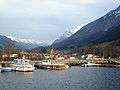 View of the harbour
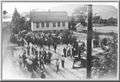 1915 Exhibition in Uskedal
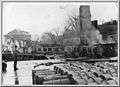 Burning of the cannery
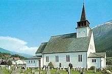 Uskedal Church
References
- 1 2 3 Statistisk sentralbyrå (1 January 2013). "Urban settlements. Population and area, by municipality.".
- ↑ "Uskedalen, Kvinnherad (Hordaland)" (in Norwegian). yr.no. Retrieved 2015-03-18.
- ↑ Store norske leksikon. "Uskedal" (in Norwegian). Retrieved 2015-03-18.
This article is issued from Wikipedia - version of the 8/4/2016. The text is available under the Creative Commons Attribution/Share Alike but additional terms may apply for the media files.