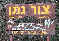
Tzur Natan
| Tzur Natan צוּר נָתָן | |
|---|---|
 | |
 Tzur Natan | |
| Coordinates: 32°14′24.72″N 35°0′42.11″E / 32.2402000°N 35.0116972°ECoordinates: 32°14′24.72″N 35°0′42.11″E / 32.2402000°N 35.0116972°E | |
| District | Central |
| Council | Drom HaSharon |
| Affiliation | Mishkei Herut Beitar |
| Founded | 1966 |
| Founded by | Nahal |
| Population (2015)[1] | 296 |
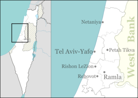
Tzur Natan (Hebrew: צוּר נָתָן, lit. Rock of Nathan) is a Moshav shitufi in central Israel. Located in western Samaria on a hilltop, 170 m above sea level, on a ridge in the foothills of the Samaritan Hills and to the south of Tayibe,[2][3] it falls under the jurisdiction of Drom HaSharon Regional Council. In 2015 it had a population of 296.
History
The moshav was founded in 1966 as a Nahal settlement by Hashomer Hatzair members, and was named after Nathan Simons. It was civilianised a year later by former members of the Beitar youth group.
References
- ↑ "List of localities, in Alphabetical order" (PDF). Israel Central Bureau of Statistics. Retrieved 16 October 2016.
- ↑ Zur Natan - Final Report
- ↑ Introduction to the Excavations at Zur Natan, E. Ayalon, E. Matthews, W. Neidinger, Texas foundation for Archaeological and Historical Research, 1994
This article is issued from Wikipedia - version of the 10/23/2016. The text is available under the Creative Commons Attribution/Share Alike but additional terms may apply for the media files.