Tucalota Hills
| Tucalota Hills | |
|---|---|
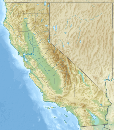 location of Tucalota Hills in California [1] | |
| Highest point | |
| Elevation | 2,382 ft (726 m) |
| Geography | |
| Country | United States |
| State | California |
| Region | Peninsular Ranges |
| District | Riverside County |
| Range coordinates | 33°35′14″N 117°00′16″W / 33.5872°N 117.0044°WCoordinates: 33°35′14″N 117°00′16″W / 33.5872°N 117.0044°W |
| Topo map | USGS Bachelor Mountain |
The Tucalota Hills are a low mountain range of the Peninsular Ranges System, in Riverside County, California.[1]
Geography
They are located east of Lake Skinner reservoir, southwest of Hemet, northeast of Temecula.
Diamond Valley reservoir fills a basin in their northwestern area.
The San Jacinto Mountains are to the northeast, and Santa Ana Mountains to the west.
See also
- Mountain ranges of Riverside County, California
References
External links
This article is issued from Wikipedia - version of the 1/13/2016. The text is available under the Creative Commons Attribution/Share Alike but additional terms may apply for the media files.