Tsumkwe Airport
| Tsumkwe Airport | |||||||||||||||
|---|---|---|---|---|---|---|---|---|---|---|---|---|---|---|---|
| IATA: none – ICAO: FYTK | |||||||||||||||
| Summary | |||||||||||||||
| Airport type | Public | ||||||||||||||
| Serves | Tsumkwe | ||||||||||||||
| Elevation AMSL | 3,780 ft / 1,152 m | ||||||||||||||
| Coordinates | 19°35′00″S 20°27′00″E / 19.58333°S 20.45000°ECoordinates: 19°35′00″S 20°27′00″E / 19.58333°S 20.45000°E | ||||||||||||||
| Map | |||||||||||||||
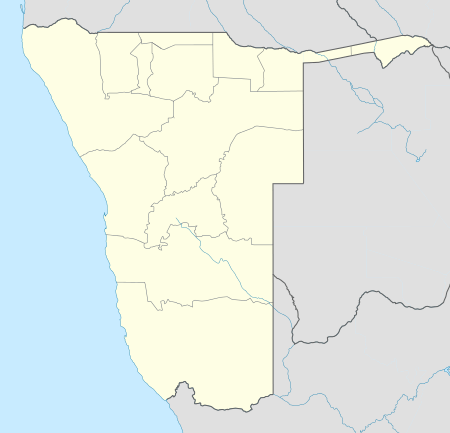 Tsumkwe Location of the airport in Namibia | |||||||||||||||
| Runways | |||||||||||||||
| |||||||||||||||
Tsumkwe Airport (ICAO: FYTK) is an airport serving the village of Tsumkwe in Otjozondjupa Region, Namibia.
See also
 Aviation portal
 Namibia portal
- List of airports in Namibia
- Transport in Namibia
References
- ↑ Google Maps - Tsumkwe
- ↑ Airport information for FYTK at Great Circle Mapper.
External links
- OpenStreetMap - Tsumkwe
- OurAirports - Namibia
- Tsumkwe Airport
- Google Earth
This article is issued from Wikipedia - version of the 12/5/2016. The text is available under the Creative Commons Attribution/Share Alike but additional terms may apply for the media files.