Tsiazompaniry Dam
| Tsiazompaniry Dam | |
|---|---|
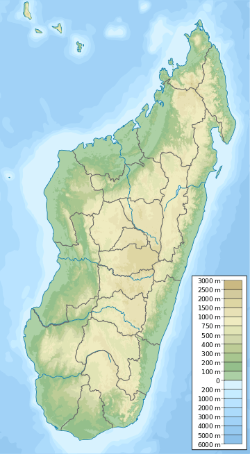 Location of Tsiazompaniry Dam in Madagascar | |
| Country | Madagascar |
| Location | Tsiazompaniry, Analamanga Region |
| Coordinates | 19°15′16.68″S 47°50′44.56″E / 19.2546333°S 47.8457111°ECoordinates: 19°15′16.68″S 47°50′44.56″E / 19.2546333°S 47.8457111°E |
| Purpose | Power, water supply |
| Status | Operational |
| Opening date | 1956 |
| Owner(s) | Jirama |
| Dam and spillways | |
| Type of dam | Buttress |
| Impounds | Varahina-South River |
| Height | 27 m (89 ft) |
| Reservoir | |
| Total capacity | 260,000,000 m3 (210,000 acre·ft) |
| Surface area | 31 km2 (12 sq mi) |
The Tsiazompaniry Dam is a buttress dam on the Varahina-South River, a tributary of the Ikopa River, near Tsiazompaniry in the Analamanga Region of Madagascar. The dam was constructed by a French firm in 1956. It creates Lake Tsiazompaniry, the largest reservoir in the country, which has a surface area of 31 km2 (12 sq mi) and a storage volume of 260,000,000 m3 (210,000 acre·ft). A second buttress dam, 1 km (0.62 mi) northwest of the main dam helps withhold the reservoir. Water released from the dam supplies a regulated flow to hydroelectric power station at the Antelomita Dam downstream.[1][2] Efforts to install a 5.25 MW power station at the base of the dam began in 2011.[3]
See also
- Mantasoa Dam – on the Varahina North River
References
- ↑ "Mantasoa and lake" Check
|url=value (help). Mantasoa. Retrieved 17 March 2014. - ↑ "Dams of Madagascar". UN FAO. Retrieved 17 March 2014.
- ↑ "ORBEO partners with Henri Fraise & Fils to develop a CDM* Hydro Power Project in Madagascar" (PDF). Orbeo. 24 March 2011. Retrieved 17 March 2014.
This article is issued from Wikipedia - version of the 3/18/2014. The text is available under the Creative Commons Attribution/Share Alike but additional terms may apply for the media files.