Tshaneni Airfield
| Tshaneni Airfield | |||||||||||
|---|---|---|---|---|---|---|---|---|---|---|---|
| IATA: none – ICAO: FDTS | |||||||||||
| Summary | |||||||||||
| Serves | Tshaneni | ||||||||||
| Elevation AMSL | 1,020 ft / 311 m | ||||||||||
| Coordinates | 25°59′10″S 31°45′05″E / 25.98611°S 31.75139°ECoordinates: 25°59′10″S 31°45′05″E / 25.98611°S 31.75139°E | ||||||||||
| Map | |||||||||||
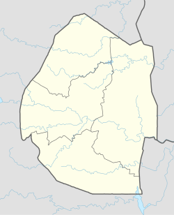 Tshaneni Location of the airport in Swaziland | |||||||||||
| Runways | |||||||||||
| |||||||||||
Tshaneni Airfield (ICAO: FDTS ) is an airstrip serving Tshaneni, in Swaziland.
See also
- Transport in Swaziland
- List of airports in Swaziland
 Aviation portal
References
External links
- OurAirports - Tshaneni
- Tshaneni
- Google Earth
| Main Roads |  | |
|---|---|---|
| Rail | ||
| Air | ||
| Border posts | ||
This article is issued from Wikipedia - version of the 12/5/2016. The text is available under the Creative Commons Attribution/Share Alike but additional terms may apply for the media files.