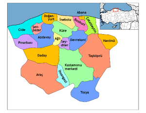
Tosya
| Tosya | |
|---|---|
| District | |
|
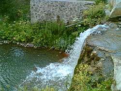
Kılkuyu village in Tosya | |
 Location of Tosya within Turkey. | |
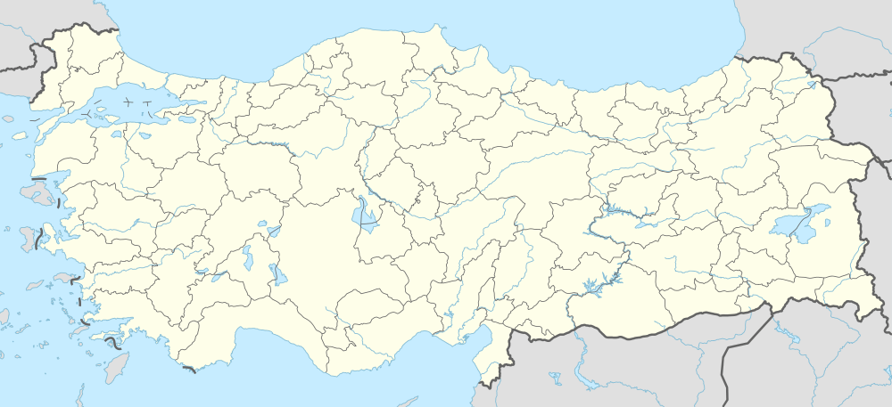 Tosya Location of Tosya | |
| Coordinates: 41°06′N 34°02′E / 41.100°N 34.033°E | |
| Country |
|
| Region | Black Sea |
| Province | Kastamonu |
| Government | |
| • Mayor | Kazım Şahin (MHP) |
| Area[1] | |
| • District | 1,185.62 km2 (457.77 sq mi) |
| Elevation | 1,231 m (4,039 ft) |
| Population (2012)[2] | |
| • Urban | 28,097 |
| • District | 40,547 |
| • District density | 34/km2 (89/sq mi) |
| Time zone | EET (UTC+2) |
| • Summer (DST) | EEST (UTC+3) |
| Postal code | 37300 |
| Area code(s) | 366 |
| Licence plate | 37 |
| Climate | Cfb |
| Website | www.tosya.bel.tr |
Tosya (Ottoman Turkish: طوسيه), called Dokeia under the Byzantine Empire, is a town and district of Kastamonu Province in the Black Sea region of Turkey. According to the 2000 census, the population of the district is 41,995. [3] About 30,000 live in the town of Tosya. The district covers an area of 1,186 km2 (458 sq mi),[4] and the town lies at an elevation of 1,231 m (4,039 ft). The district produces a third of Turkey's total rice harvest. Timber is another important industry in Tosya.
Notes
- ↑ "Area of regions (including lakes), km²". Regional Statistics Database. Turkish Statistical Institute. 2002. Retrieved 2013-03-05.
- ↑ "Population of province/district centers and towns/villages by districts - 2012". Address Based Population Registration System (ABPRS) Database. Turkish Statistical Institute. Retrieved 2013-02-27.
- ↑ Turkish Statistical Institute. "Census 2000, Key statistics for urban areas of Turkey" (XLS) (in Turkish). Retrieved 2008-11-03.
- ↑ Statoids. "Statistical information on districts of Turkey". Retrieved 2008-11-28.
References
- Falling Rain Genomics, Inc. "Geographical information on Tosya, Turkey". Retrieved 2008-11-03.
External links
![]() Media related to Kilkuyu, Tosya at Wikimedia Commons
Media related to Kilkuyu, Tosya at Wikimedia Commons
- Tosya Municipality (Turkish)
- District governorship official website (Turkish)
Coordinates: 41°05′50″N 34°02′13″E / 41.09722°N 34.03694°E
This article is issued from Wikipedia - version of the 11/9/2016. The text is available under the Creative Commons Attribution/Share Alike but additional terms may apply for the media files.