Thipparthy
| Thipparthi తిప్పర్తి | |
|---|---|
| Village | |
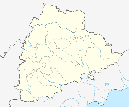 Thipparthi  Thipparthi Location in Telangana, India | |
| Coordinates: 17°01′00″N 79°25′00″E / 17.0167°N 79.4167°ECoordinates: 17°01′00″N 79°25′00″E / 17.0167°N 79.4167°E | |
| Country |
|
| State | Telangana |
| District | Nalgonda |
| Elevation | 221 m (725 ft) |
| Languages | |
| • Official | Telugu |
| Time zone | IST (UTC+5:30) |
| PIN | 508247 |
| Telephone code | 08682 |
| Vehicle registration | TS |
| Nearest city | Nalgonda, Miryalaguda and Nakrekal |
| Lok Sabha constituency | Nalgonda |
| Vidhan Sabha constituency | Nalgonda |
| Website |
telangana |
Thipparthy is a historical village in the Nalgonda district in Telangana. It is located in Thipparthy mandal of Nalgonda division.[1]
Geography
Tipparti is located at 17°01′00″N 79°25′00″E / 17.0167°N 79.4167°E.[2] It has an average elevation of 221 metres (728 ft).
Economy[edit]
Farms in the Thipparthy area grow sweet oranges, sapota ,Lemon , rice ,cotton and vegetables . The village also hosts schools and colleges among its various businesses.
References
- ↑
- ↑ "Maps, Weather, and Airports for Tipparti, India". fallingrain.com.
This article is issued from Wikipedia - version of the 10/4/2016. The text is available under the Creative Commons Attribution/Share Alike but additional terms may apply for the media files.