The Castle (volcano)
| The Castle | |
|---|---|
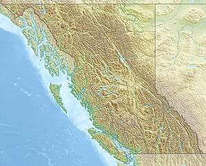 The Castle Location of The Castle in SW British Columbia | |
| Highest point | |
| Elevation | 510 m (1,670 ft) |
| Prominence | 40 m (130 ft) |
| Coordinates | 49°41′N 123°12′W / 49.69°N 123.2°WCoordinates: 49°41′N 123°12′W / 49.69°N 123.2°W |
| Geography | |
| Location | British Columbia, Canada |
| Parent range | Pacific Ranges |
| Topo map | NTS 92G/11 |
| Geology | |
| Age of rock | Pleistocene |
| Mountain type | Lava spine |
| Volcanic arc/belt | |
| Last eruption | Pleistocene |
The Castle is a lava spine located west of Squamish in southwestern British Columbia, Canada. Volcanism at The Castle is controlled by north-south structures and there are no hot springs known in the area.[1] It forms part of the Monmouth Creek complex and is part of the Garibaldi Volcanic Belt which is a segment of the Cascade Volcanic Arc.
See also
- Cascade Volcanoes
- Garibaldi Volcanic Belt
- Mount Garibaldi
- List of volcanoes in Canada
- Volcanism of Canada
- Volcanism of Western Canada
References
This article is issued from Wikipedia - version of the 5/26/2015. The text is available under the Creative Commons Attribution/Share Alike but additional terms may apply for the media files.