Tawqani
| Tawqani | |
|---|---|
 Tawqani Location within Bolivia | |
| Highest point | |
| Elevation | 2,500 m (8,200 ft) [1] |
| Coordinates | 15°33′52″S 68°42′00″W / 15.56444°S 68.70000°WCoordinates: 15°33′52″S 68°42′00″W / 15.56444°S 68.70000°W |
| Geography | |
| Location |
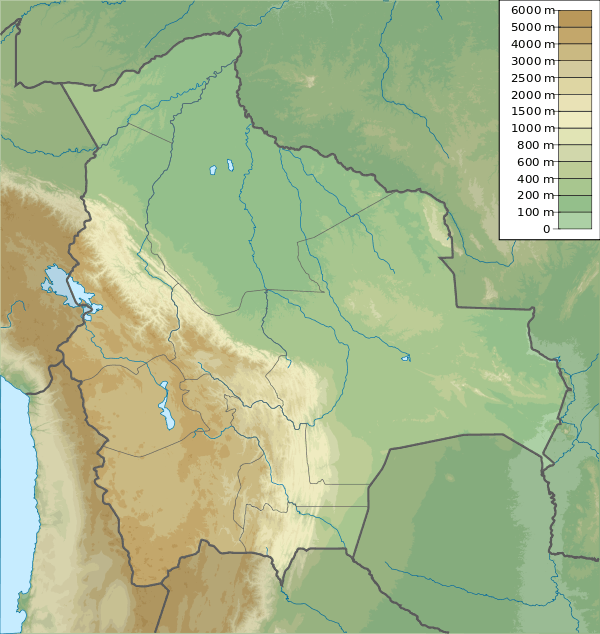
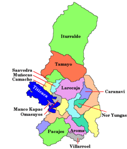
Bolivia, La Paz Department |
| Parent range | Andes |
Tawqani (Aymara tawqaña to pile up, [2] -ni a suffix, also spelled Taucani) is a mountain in the Andes of Bolivia which reaches a height of approximately 2,500 m (8,200 ft). It is located in the La Paz Department, Larecaja Province, Quiabaya Municipality, northwest of Tacacoma.[1][3]
References
- 1 2 Bolivian IGM map 1:50,000 Tacacoma 5847-II
- ↑ "Diccionario Quechua - Aymara al español". INE, Bolivia. Retrieved February 12, 2016.
- ↑ "Quiabaya". INE, Bolivia. Retrieved February 12, 2016.
This article is issued from Wikipedia - version of the 2/12/2016. The text is available under the Creative Commons Attribution/Share Alike but additional terms may apply for the media files.