Superstition Hills
| Superstition Hills | |
|---|---|
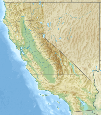 Location of the Superstition Hills in California [1] | |
| Highest point | |
| Elevation | 141 ft (43 m) |
| Geography | |
| Country | United States |
| State | California |
| Region | Colorado Desert |
| District | Imperial County |
| Range coordinates | 33°01′15″N 115°48′47″W / 33.0209°N 115.8131°WCoordinates: 33°01′15″N 115°48′47″W / 33.0209°N 115.8131°W |
| Topo map | USGS Kane Spring |
The Superstition Hills are a low mountain range in the Colorado Desert, in western Imperial County, southern California.[1]
They are located southwest of the Salton Sea, in the Lower Colorado River Valley.
References
- 1 2 "Superstition Hills". Geographic Names Information System. United States Geological Survey. Retrieved 2009-05-04.
This article is issued from Wikipedia - version of the 9/14/2014. The text is available under the Creative Commons Attribution/Share Alike but additional terms may apply for the media files.