Stegen
| Stegen | ||
|---|---|---|
 | ||
| ||
 Stegen | ||
Location of Stegen within Breisgau-Hochschwarzwald district 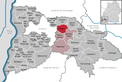
 | ||
| Coordinates: 47°58′58″N 7°57′50″E / 47.98278°N 7.96389°ECoordinates: 47°58′58″N 7°57′50″E / 47.98278°N 7.96389°E | ||
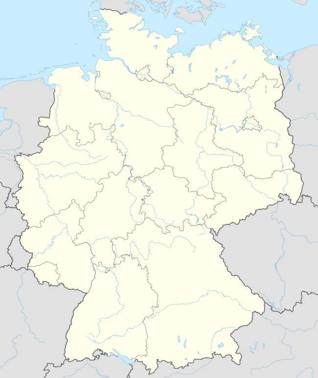
| Country | Germany | |
| State | Baden-Württemberg | |
| Admin. region | Freiburg | |
| District | Breisgau-Hochschwarzwald | |
| Government | ||
| • Mayor | Siegfried Kuster | |
| Area | ||
| • Total | 26.32 km2 (10.16 sq mi) | |
| Population (2015-12-31)[1] | ||
| • Total | 4,481 | |
| • Density | 170/km2 (440/sq mi) | |
| Time zone | CET/CEST (UTC+1/+2) | |
| Postal codes | 79252 | |
| Dialling codes | 07661 | |
| Vehicle registration | FR | |
| Website | www.dreisamportal.de | |

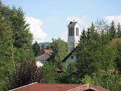
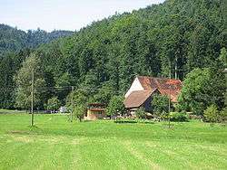
Stegen is a municipality in the Breisgau-Hochschwarzwald district, Baden-Württemberg, Germany. It borders on the city of Freiburg, being about 8 km away as the crow flies, lying in the valley of the river Dreisam. The municipality includes three population centres: the town of Stegen (which itself includes the villages of Weiler, Oberbirken, Unterbirken and Rechtenbach) and the villages of Eschbach and Wittental.
Economically, Stegen is partly an offshoot of Freiburg; for example, the Forest Zoology Institute of the University of Freiburg maintains a field station at Wittental. It also plays a role in Black Forest tourism, with guest houses and other facilities catering to visitors. It is the first town that a hiker on the Schwarzwald-Querweg Freiburg-Bodensee long-distance footpath passes through when travelling eastwards on the path from Freiburg.
| Wikimedia Commons has media related to Stegen. |