Sihora
| Sihora | |
|---|---|
| city | |
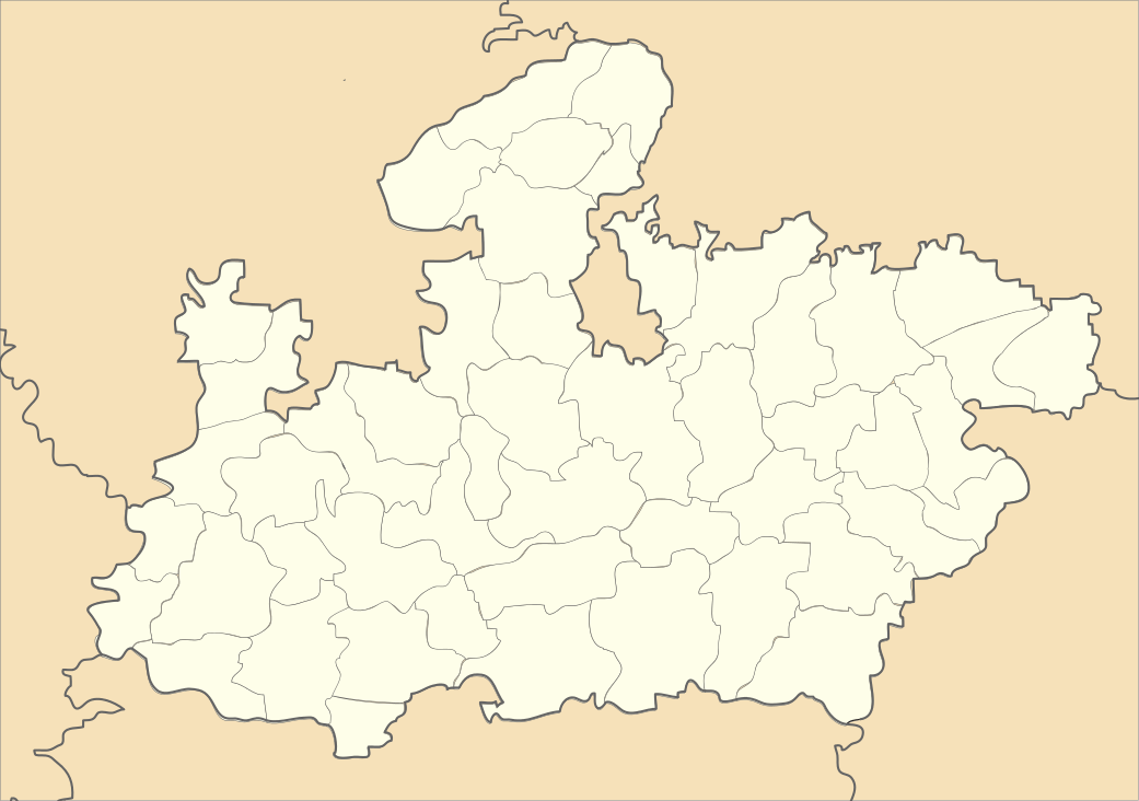 Sihora  Sihora Location in Madhya Pradesh, India | |
| Coordinates: 23°00′N 80°07′E / 23.00°N 80.12°ECoordinates: 23°00′N 80°07′E / 23.00°N 80.12°E | |
| Country |
|
| State | Madhya Pradesh |
| District | Jabalpur |
| Elevation | 386 m (1,266 ft) |
| Population (2001) | |
| • Total | 37,887 |
| Languages | |
| • Official | Hindi |
| Time zone | IST (UTC+5:30) |
| ISO 3166 code | IN-MP |
| Vehicle registration | MP |
Sihora is a town and a municipality in Jabalpur district in the Indian state of Madhya Pradesh.
Geography
Sihora is located at 23°29′N 80°07′E / 23.48°N 80.12°E.[1] It has an average elevation of 386 metres (1266 feet). It was the biggest tehsil of the state. The people of Sihora are demanding district status from their state government. A village, Karaundi, about 40 km from Sihora, near the village of Paan Umaria is considered to be centre point of post-partition India (pre-partition centre point is at Nagpur).
Sihora municipal corporation is one of the oldest corporations of Madhya Pradesh. It was established in 1867.
Demographics
According to the 2011 India census,[2] Sihora had a population of 44,048. Males constitute 52% of the population and females 48%. Sihora has an average literacy rate of 68%, higher than the national average of 59.5%: male literacy is 75%, and female literacy is 59%. In Sihora, 15% of the population is under 6 years of age.
References
- ↑ Falling Rain Genomics, Inc – Sihora. Fallingrain.com. Retrieved on 2012-07-26.
- ↑ "Census of India 2001: Data from the 2011 Census, including cities, villages and towns (Provisional)". Census Commission of India. Archived from the original on 2004-06-16. Retrieved 2008-11-01.